| Main | Births etc |
|---|
Template:Morereferences
| Waitomo District | |
|---|---|
| — Territorial authority — | |
 |
|
| Country | New Zealand |
| Region | Waikato Region |
| Seat | Te Kuiti |
| Government | |
| • Mayor | Brian Hanna |
| Population (June 2012 estimate)[1] | |
| • Total | 9,540 |
| Time zone | NZST (UTC+12) |
| • Summer (DST) | NZDT (UTC+13) |
| Postcode(s) | Map of postcodes |
| Website | waitomo.govt.nz |
Waitomo District is a territorial authority, located in the Waikato region, at the north of the King Country area in the North Island of New Zealand. A small part of the district, the town of Tiroa, however, lies in the Manawatu-Wanganui region.
District council[]
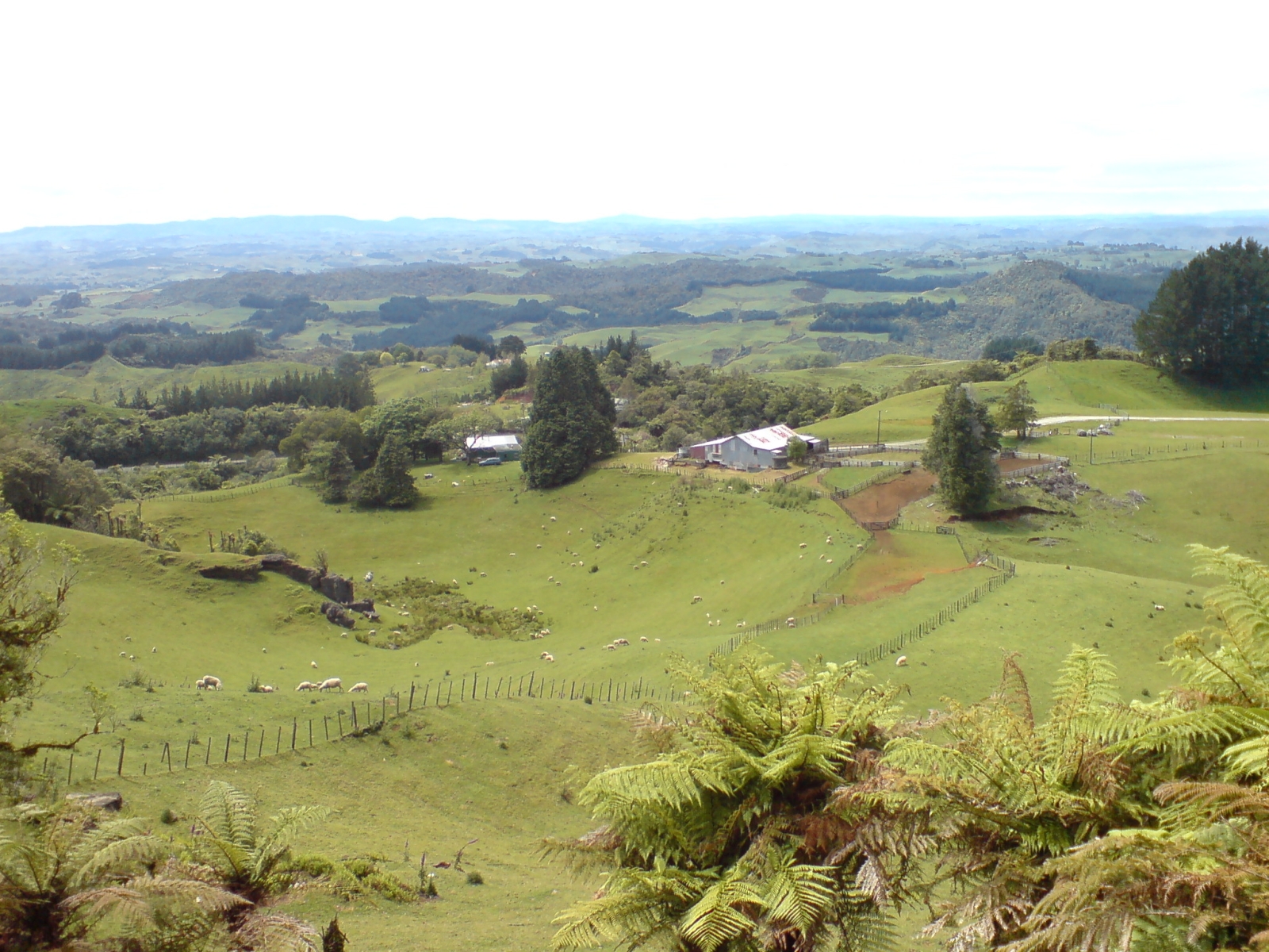
A farm in the district.
The seat of the Waitomo District Council is at Te Kuiti, which has a population of 4,419. No other village in the district has a population of over 500. The district's total population at the 2006 census was 9,441, of whom 39% were Māori. The district has a land area of 3,546.76 km2 (1,369 sq mi), 94.87% of which lies in the Waikato Region and only 5.13% in the Manawatu-Wanganui Region. The Waitomo district was declared in 1976. The current district mayor is Brian Hanna, who defeated incumbent Mark Ammon in the local body elections.
Industry and tourist attractions[]
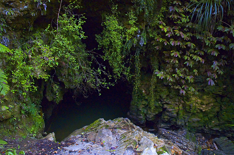
A cave entrance. The Waitomo District is known for its limestone caves.
The district is a rural, predominantly dairy farming, region. The area's main industries include sheep farming, forestry, and limestone quarrying. The area is known for the popular Waitomo Caves, a karstic system with stalactites, stalagmites and glowworms 12 kilometres northwest of Te Kuiti. Waitomo also has an old style hotel first built in 1908 and added onto in the 1930s. Waitomo Caves Hotel overlooks Waitomo Village.
Te Anga Road, a windy road from State Highway 3 towards Marokopa, leads past the Waitomo Caves, Mangapohue Natural Bridge, Piripiri Caves, and Marokopa Falls. Numerous other limestone caves are found throughout the Waitomo district.
References[]
- ^ "Subnational population estimates at 30 June 2012". Statistics New Zealand. 23 October 2012. http://www.stats.govt.nz/browse_for_stats/population/estimates_and_projections/subnational-pop-estimates-tables.aspx. Retrieved 23 October 2012. Also "Infoshare; Group: Population Estimates - DPE; Table: Estimated Resident Population for Urban Areas, at 30 June (1996+) (Annual-Jun)". Statistics New Zealand. 19 December 2012. http://www.stats.govt.nz/infoshare/SelectVariables.aspx?pxID=2f5a6aa2-7aeb-4792-a34a-d5567eb8082f. Retrieved 23 October 2012.
External links[]
| |||||||||||||||||||
| This page uses content from the English language Wikipedia. The original content was at Waitomo District. The list of authors can be seen in the page history. As with this Familypedia wiki, the content of Wikipedia is available under the Creative Commons License. |