| Main | Births etc |
|---|

Location of the Waitaki District within the South Island
Crest of the Waitaki District Council.
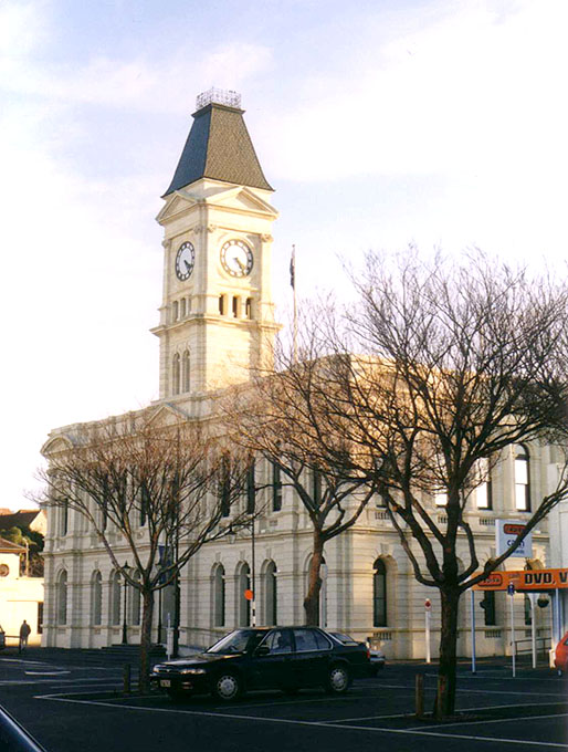
Waitaki District Council building, Thames Street, Oamaru.
The Waitaki district, in the Canterbury and Otago regions of New Zealand, straddles the traditional border between the two regions, the Waitaki River. It has a land area of 7,151.94 km² (2,761.38 sq mi), divided 59.28% to Canterbury Region and 40.72% to Otago Region. It is the only district in the South Island that is divided between two regions. A major reason for this split was the governance of the Waitaki River, which forms a political boundary between Canterbury and Otago. With major hydro schemes on this river it was decided to place the entire catchment in one administrative region, thus splitting the district. Some people who fall into the Canterbury Region of Waitaki District still regard themselves as part of Otago, and attempts have been made in the past to change the boundary.
The Waitaki District is made up of the former Waitaki County, Waihemo County and Oamaru Borough, which were merged in 1989. It is governed by the Waitaki District Council.
The district, which is agricultural by nature, includees the wide alluvial fan of the river, and runs inland along the banks of the river, this forming a roughly triangular region. Smaller rivers are further south. The population is 20,900 (June 2012 estimate),[1]. Oamaru (the chief port of North Otago) is the largest town in the district.
A relatively weakly settled area, the District has a wide range of farms. However, in recent times (late 2000s), numerous proposals for new farming operations have locals fearing that the agriculture will be transformed from often family-held farms to large agribusiness operations causing increased local ecologic damage and siphoning off capital overseas.[2]
References[]
- ^ "Subnational population estimates at 30 June 2012". Statistics New Zealand. 23 October 2012. http://www.stats.govt.nz/browse_for_stats/population/estimates_and_projections/subnational-pop-estimates-tables.aspx. Retrieved 23 October 2012. Also "Infoshare; Group: Population Estimates - DPE; Table: Estimated Resident Population for Urban Areas, at 30 June (1996+) (Annual-Jun)". Statistics New Zealand. 19 December 2012. http://www.stats.govt.nz/infoshare/SelectVariables.aspx?pxID=2f5a6aa2-7aeb-4792-a34a-d5567eb8082f. Retrieved 23 October 2012.
- ^ Taylor, Gary (2010--02-08). "A national treasure is being squandered". The New Zealand Herald. http://www.nzherald.co.nz/nz/news/article.cfm?c_id=1&objectid=10624719. Retrieved 8 February 2010.
External links[]
| |||||||||||
| |||||||||||||||||||
| This page uses content from the English language Wikipedia. The original content was at Waitaki District. The list of authors can be seen in the page history. As with this Familypedia wiki, the content of Wikipedia is available under the Creative Commons License. |