| Main | Births etc |
|---|
| Trenčianske Teplice German: Trentschinteplitz Hungarian: Trencsénteplic |
|||
|---|---|---|---|
| — Village — | |||
 |
|||
|
|||
 |
|||

Trenčianske Teplice |
|||

Trenčianske Teplice |
|||
| Coordinates: | |||
| Country | |||
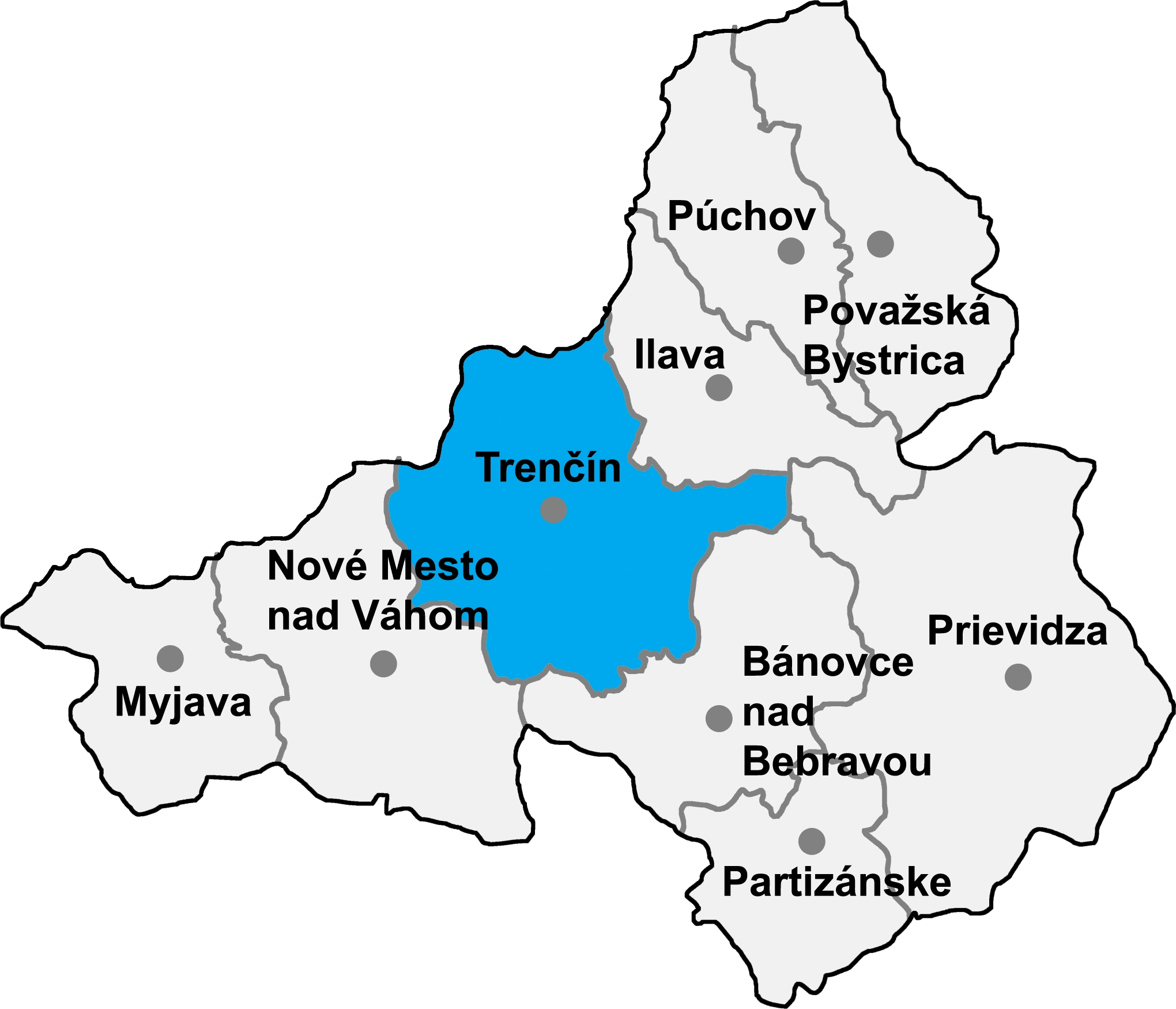
| Region | Trenčín | ||
| District | Trenčín | ||
| First mentioned | 1379 | ||
| Government | |||
| • mayor | Štefan Škultéty (SDKÚ-DS, KDH, NOVA, #SIEŤ) | ||
| Area | |||
| • Total | 10.45 km2 (4.03 sq mi) | ||
| Elevation | 447 m (1,467 ft) | ||
| Population (31 Dec 2015) | |||
| • Total | 4 187 | ||
| • Density | 399.81/km2 (1,035.5/sq mi) | ||
| Time zone | CET (UTC+1) | ||
| • Summer (DST) | CEST (UTC+2) | ||
| Postal code | 914 51 | ||
| Area code | +421-32 | ||
| Website | http://www.teplice.sk/ | ||

Trenčianske Teplice (German: Trentschinteplitz; Hungarian: Trencsénteplic) is a city in western Slovakia in the valley of the river Teplička, at the foothills of the Strážovské vrchy mountains.
Characteristics[]
The town is renowned for its sulphuric and thermal springs. It is a center of recreation and tourism and of various cultural events (e.g. the Summer Festival of Music).The spa provides treatment of rheumatism and post-traumatic disorders.
History[]
In the middle of the 13th century as terra Teplicza it was property of the Cseszneky de Milvány family.[1] It has been a spa site since the 14th century. As early as the 16th century, the spa was known all over Europe, and was mentioned as the most important of the Kingdom of Hungary. The spa was owned by the Illésházy, an aristocratic family of the Kingdom of Hungary, from 1582 onwards. In 1835, it was bought by the Viennese financier Jozef Sina, who developed the area. The spa was nationalised after the Second World War.
A hydroelectric power station (it was producing polyphase AC of 5250 V) was built between 1886–1888 and supplied the town's streetlights as well as surrounding communities (Trenčianska Teplá, Košeca, Ladce) with electricity. It also powered a special narrow-gauged public electric railway opened on 29 July 1909. The railway has a length of 5.9 km (4 mi) and connects Trenčianske Teplice with a railway junction at Trenčianska Teplá. It still operates today.
Demographics[]
According to the 2001 census, the town had 4,438 inhabitants. 96.6% of inhabitants were Slovaks, 1.7% Czechs and 0.2% Hungarians.[2] The religious makeup was 77.7% Roman Catholics, 13.6% people with no religious affiliation, and 4.6% Lutherans.[2]
Partner towns[]
|
|
References[]
- ^ Monumenta Hungariae historica
- ^ a b "Municipal Statistics". Statistical Office of the Slovak republic. Archived from the original on 2007-10-27. http://web.archive.org/web/20071027094149/http://www.statistics.sk/mosmis/eng/run.html. Retrieved 2007-11-06.
External links[]
| ||||||||||||||||
| This page uses content from the English language Wikipedia. The original content was at Trenčianske Teplice. The list of authors can be seen in the page history. As with this Familypedia wiki, the content of Wikipedia is available under the Creative Commons License. |