| Main | Births etc |
|---|
| Telopea Sydney, | |||||||||||||
 Waratah Shopping Centre | |||||||||||||
| Postcode: | 2117 | ||||||||||||
| Location: | 23 km (14 mi) north-west of Sydney CBD | ||||||||||||
| LGA: | City of Parramatta | ||||||||||||
| State District: | Parramatta | ||||||||||||
| Federal Division: | Parramatta | ||||||||||||
| |||||||||||||

Telopea Railway Station
Telopea /təloʊpiə/ is a suburb of Sydney, in the state of New South Wales, Australia. Telopea is located 23 kilometres north-west of the Sydney central business district, in the local government area of the City of Parramatta.
Name[]
Telopea is named from Telopea speciosissima, the New South Wales waratah, a plant that was abundant in the area before it was colonised and which became the floral emblem of New South Wales.
Transport[]
Telopea railway station is on the Carlingford line of the CityRail network. The suburb is bordered by Kissing Point Road to the south and Pennant Hills Road to the north. The area is serviced by Sydney Buses route 545 [1]
Commercial area[]
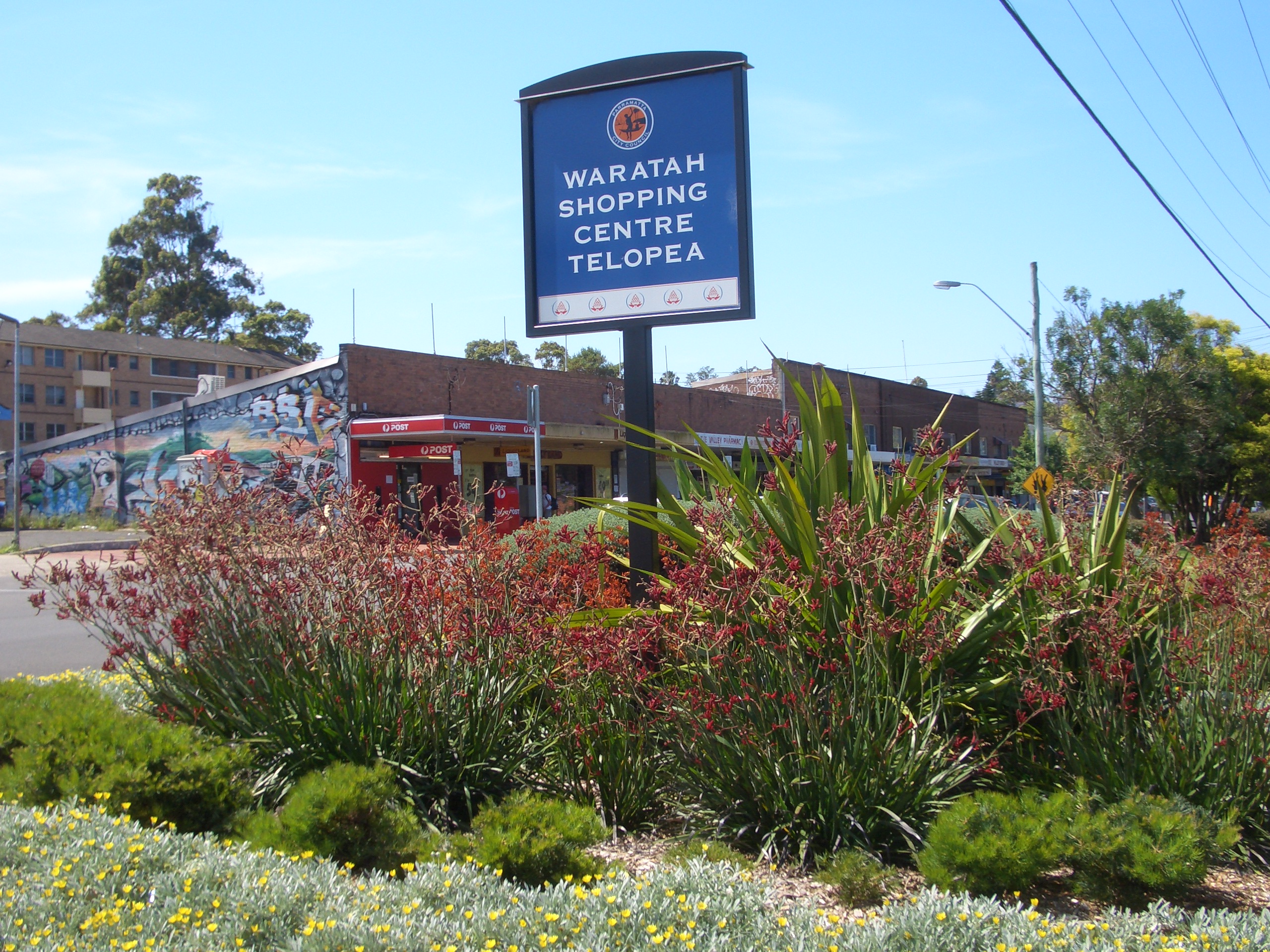
Waratah Shopping Centre, located on Benaud Place, has many retail shops including an IGA supermarket, newsagent, chemist, kebab shop, and a hair and beauty salon. A small group of shops is also located opposite the railway station on Adderton Road.
Housing[]
Telopea is mainly low to low-medium density housing with most of the dwellings been built after the Second World War. The suburb is bisected by the Carlingford railway line with most of the medium density housing lying adjacent to the train line.
Parks[]
Telopea contains a large tract of bushland on its western edge, backing onto the Oatlands golf course. The bushland, the Vineyard Creek Reserve as it is known contains a spring-fed creek and has several waterfalls on its course before it disappears beneath Kissing Point road to the south. The creek and the bushland are protected as environmental areas.
Churches[]
- The local Anglican Church meets in Telopea on Saturday evenings and at Dundas on Sundays.[2]
- Telopea Christian Centre is another local Church.[3]
Community Facilities[]
Telopea consists of a primary school,[4] local library,[5] community hall and a community garden.[6]
References[]
- ^ http://www.sydneybuses.info/ - Sydney Buses website
- ^ "Dundas Telopea Anglican Church". http://dundasanglican.com.au/.
- ^ "Telopea Christian Centre". http://www.telopea.org.au.
- ^ http://www.telopea-p.schoolwebsites.com.au/ - Telopea public primary school
- ^ http://www.parracity.nsw.gov.au/play/facilities/library/opening_hours__and__locations - Telopea library opening hours
- ^ http://www.rbgsyd.nsw.gov.au/education/community_greening/contacts - community garden contact details
| ||||||||
| This page uses content from the English language Wikipedia. The original content was at Telopea, New South Wales. The list of authors can be seen in the page history. As with this Familypedia wiki, the content of Wikipedia is available under the Creative Commons License. |