| Main | Births etc |
|---|
| Tabulam | |
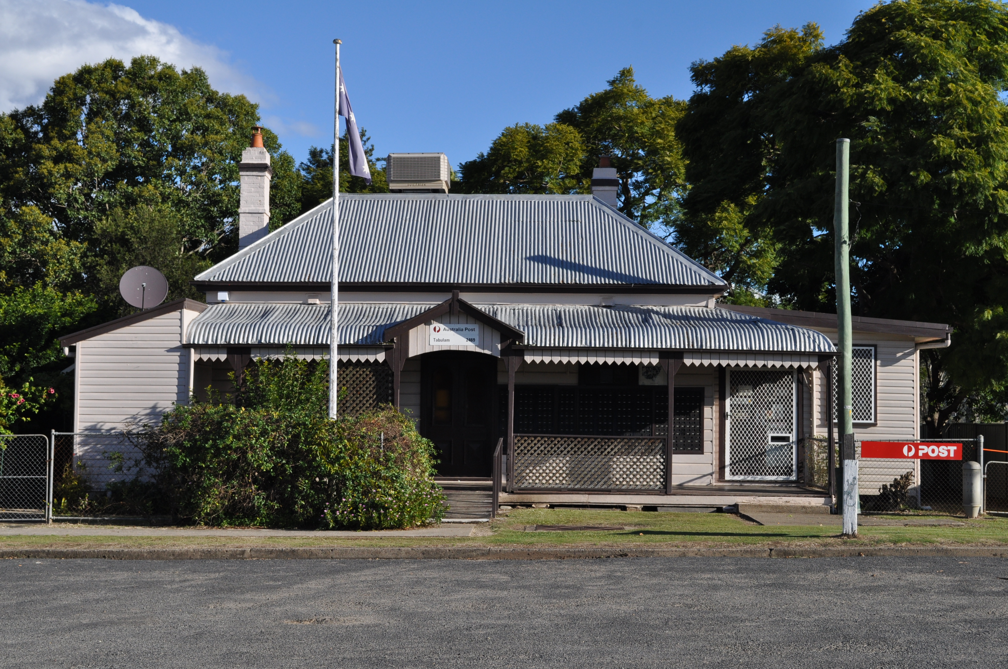 Tabulam Post Office, Court Street | |
| Population: | 470 [1] |
| Postcode: | 2469[2] |
| Coordinates: | Coordinates: |
| Elevation: | 130 m (427 ft) [3] |
| LGA: | Kyogle Council[4] |
| County: | Drake[4] |
| Parish: | Tabulam[4] |
| State District: | Lismore[5] |
| Federal Division: | |
Tabulam is a rural village in the far north-east of New South Wales, Australia, 800 kilometres from the state capital, Sydney. Tabulam is located on the Bruxner Highway (Highway 44) between Tenterfield and Casino and on the Clarence River. According to the 2016 census, there were 470 people living in Tabulam.[1] Tabulam is locally administered by Kyogle Council.
Etymology[]
The name Tabulam is derived from Bundjalung Dahbalam.[7]
History[]
Originally, Tabulam and the surrounding farm and bushland was inhabited by Bundjalung Aborigines of which many still inhabit the town and surrounding area. The land was first settled by Europeans in 1839.
It is the birthplace of Lieutenant General Sir Harry Chauvel of the Australian Light Horse.[8]
During World War II tank traps were built in the area near Paddys Flat, to repel a potential armoured attack.[9] More of the tank traps became visible after flooding of the Clarence River in 2011.[9]
Culture[]
Tabulam has a large Indigenous population with a number of Indigenous villages surrounding the local area. The main one being Jubullum Village which is the home to the Tabulum Turtle Divers rugby team. This village is located on the Rocky River and has around 130-150 people.[10] Local cultural leaders and artists live in this village and a team of locals maintains the lawns and houses.
Recreation[]
Tabulam has a number of recreational activities.
Tabulam Golf Course is located near the Clarence river at Tabulam.[11] It is a 9 hole bush-land course. The course is maintained by volunteers. It is open to the public.
Tabulam hosts an annual Spring Racing Carnival, occurring each year on the Saturday following the Melbourne Cup. The Tabulam racecourse is managed by the Tabulam Jockey Club. The Tabulam Races are held at the local racetrack, located approximately 1 km south of the township, on the bank of the Clarence River. The 5 race carnival culminates with the Tabulam Cup, a 2220m race.[12]
White-water rafting, camping, fishing, bushwalking and other nature activities are available at the town. A local company offers weekend or single day river adventures, with guides and the opportunity to spot a platypus or wedge-tailed eagle.
References[]
- ^ a b Australian Bureau of Statistics (27 June 2017). "Tabulam (State Suburb)". 2016 Census QuickStats. Retrieved 25 November 2017.
- ^ Australia Post. "Australia Post - Postcode Search -Tabulam". http://www1.auspost.com.au/postcodes/index.asp?Locality=Tabulam&sub=1&State=&Postcode=&submit1=Search. Retrieved 29 December 2009.
- ^ "Tabulam Post Office". Monthly rainfall. Bureau of Meteorology. http://www.bom.gov.au/jsp/ncc/cdio/weatherData/av?p_nccObsCode=139&p_display_type=dataFile&p_startYear=&p_stn_num=057018. Retrieved 29 December 2009.
- ^ a b c "Tabulam". Geographical Names Register (GNR) of NSW. Geographical Names Board of New South Wales. http://www.gnb.nsw.gov.au/place_naming/placename_search/extract?id=TRlpFxWAuj. Retrieved 29 December 2009.
- ^ Electoral Commission NSW (4 April 2008). "LISMORE". http://www.elections.nsw.gov.au/state_government_elections/electoral_districts/all_districts_/lismore. Retrieved 29 December 2009.
- ^ a b Australian Electoral Commission (24 September 2009). "Localities - Federal Electorate Search: Tabulam". http://apps.aec.gov.au/esearch/LocalitySearchResults.aspx?filter=Tabulam&filterby=LocalityorSuburb. Retrieved 29 December 2009.
- ^ Sharpe, Margaret. "Bundjalung". Macquarie Aboriginal Words. Sydney: Macquarie Library. p. 21.
- ^ "Tabulam". Travel Promote. http://www.tropicalnsw.com.au/aaa_site/places/towns/tabulam.html. Retrieved 2 November 2006.
- ^ a b Dunn, Peter. "TANK TRAPS NEAR TENTERFIELD, NSW DURING WW2". www.ozatwar.com. http://www.ozatwar.com/locations/tanktrapstenterfield.htm. Retrieved 20 May 2013.
- ^ http://www.censusdata.abs.gov.au/census_services/getproduct/census/2011/quickstat/ILOC10201201?opendocument&navpos=220
- ^ http://www.tabulamgolfclub.com.au
- ^ https://web.archive.org/web/20091026192636/http://geocities.com/tabulamraces/ Tabluam Jockey Club
External links[]
 Media related to Tabulam, New South Wales at Wikimedia Commons
![]() Tabulam travel guide from Wikivoyage
Tabulam travel guide from Wikivoyage
Template:Kyogle Council
| This page uses content from the English language Wikipedia. The original content was at Tabulam. The list of authors can be seen in the page history. As with this Familypedia wiki, the content of Wikipedia is available under the Creative Commons License. |