Revision as of 02:15, 27 October 2013 by Afil(talk | contribs)(Created page with "{{Infobox German district| name= Soest District| state=North Rhine-Westphalia| image_coa=DE Kreis Soest COA.svg capital=Soest| regierungsbezirk=[[Arnsberg (...")
In medieval times Soest was the biggest city of Westphalia; however, after it liberated itself from the bishops of Cologne in the Soester Fehde in 1449 it slowly lost importance, only to gain it again when in 1816 the new Prussian government created the district. In 1975 the district was merged with the neighboring district of Lippstadt and parts of the former district of Arnsberg.
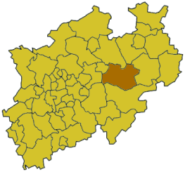
Geography[]
Geographically it covers the northern part of the Sauerland hills and the lower land north of it, the 'Hellweg'. The rather flat land and very fertile loess soil have it an agricultural area from ancient times. The main rivers through the district are the Ruhr, the Lippe and the Möhne, which is dammed to form the Möhne Reservoir. The highest elevation is in the area of Warstein with 580m, while the lowest is the Lippe valley with 65m.
Coat of arms[]
The coat of arms show two symbols from the bishops of Cologne, who possessed Soest until 1449. In left half is the key of Saint Peter, the patron of Cologne; in the right is the black cross of Cologne. After the district was merged with Lippstadt the rose, symbol of the Lippe area, was added on top of the cross. This new version of the coat of arms was granted in 1976.
This page uses content from the English language Wikipedia. The original content was at Soest District. The list of authors can be seen in the page history. As with this Familypedia wiki, the content of Wikipedia is available under the Creative Commons License.

 Media related to Kreis Soest at Wikimedia Commons