| ||||||||||||||
| Richmond County, Virginia | ||
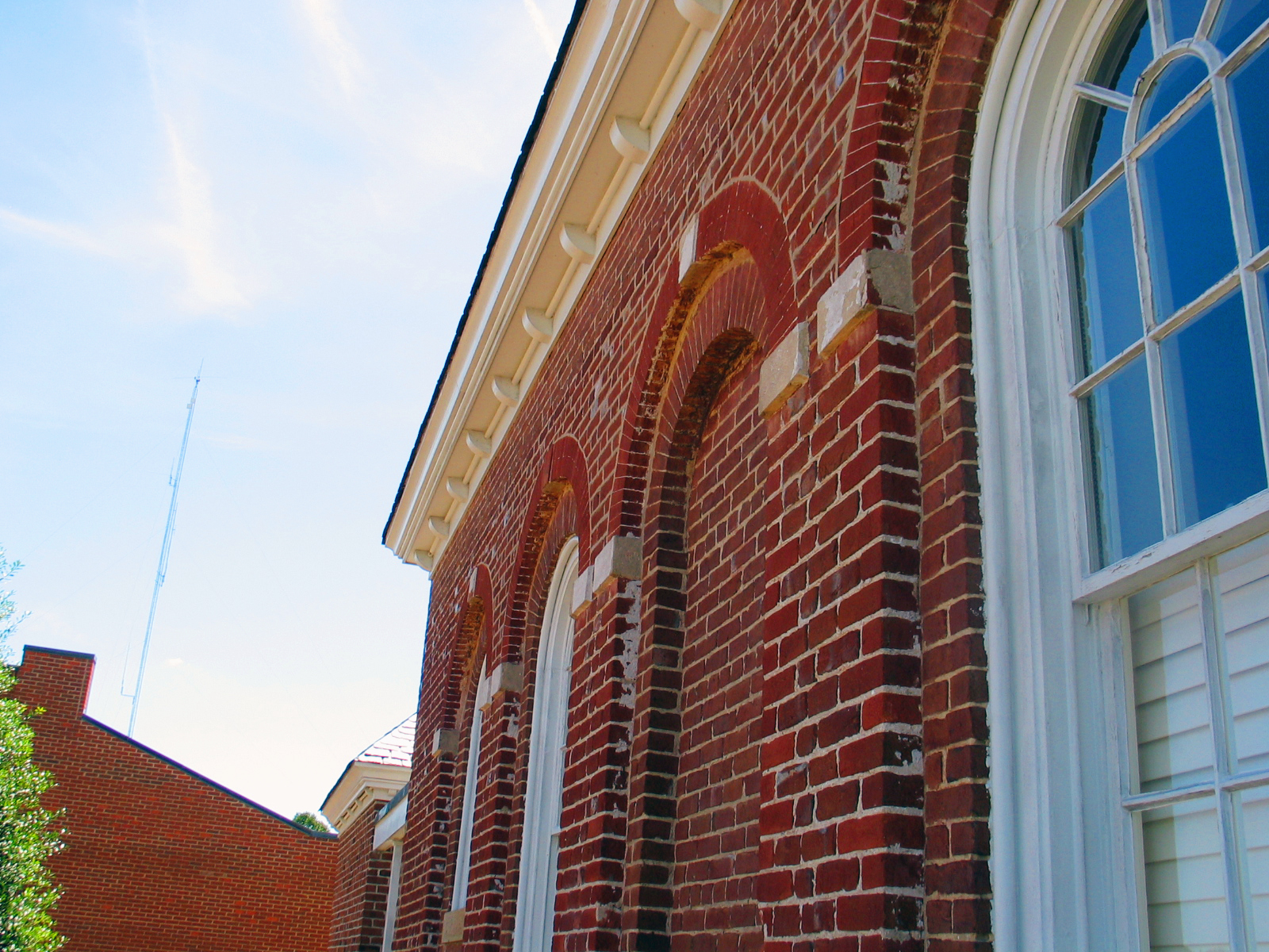 Richmond County Courthouse in Warsaw
| ||
| ||
 Location in the state of Virginia | ||
 Virginia's location in the U.S. | ||
| Founded | 1692 | |
|---|---|---|
| Named for | Richmond, London or Charles Lennox | |
| Seat | Warsaw | |
| Largest town | Warsaw | |
| Area - Total - Land - Water |
216 sq mi (559 km²) 191 sq mi (495 km²) 25 sq mi (65 km²), 11.5% | |
| PopulationEst. - (2015) - Density |
8,908 39/sq mi (15/km²) | |
| Congressional district | 1st | |
| Time zone | Eastern: UTC-5/-4 | |
| Website | www.co.richmond.va.us | |
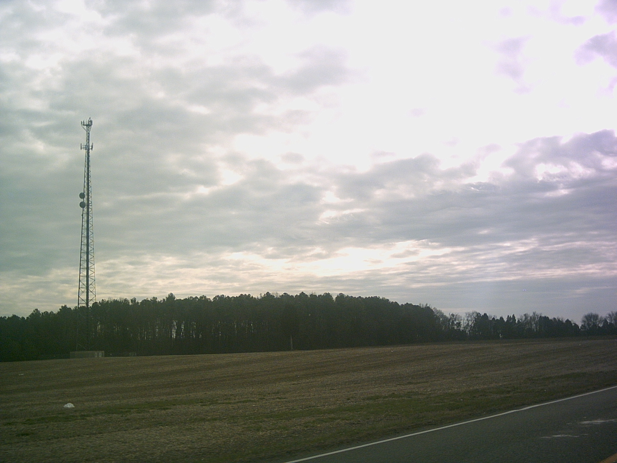

Rural scene in Richmond County
Richmond County is a county located on the Northern Neck in the Commonwealth of Virginia. As of the 2010 census, the population was 9,254.[1] Its county seat is Warsaw.[2] The rural county should not be confused with the large city and state capital Richmond, Virginia. It was formed in 1692 when the first Rappahannock County was divided to form Richmond County and Essex County.
Geography[]
According to the U.S. Census Bureau, the county has a total area of 216 square miles (560 km2), of which 191 square miles (490 km2) is land and 25 square miles (65 km2) (11.5%) is water.[3]
Adjacent counties[]
- Westmoreland County, Virginia – north
- Northumberland County, Virginia – east
- Lancaster County, Virginia – southeast
- Essex County, Virginia – southwest
National protected area[]
- Rappahannock River Valley National Wildlife Refuge (part) Franklin, Island Farm, Laurel Grove, Peter, Tayloe, Wellford, Wilna, Wright units; Menokin, Wellford easements
Major highways[]
 US 360
- SR 3
- SR 203
- [[Template:Infobox road/VA/link Sec|Template:Infobox road/VA/abbrev Sec]]
- [[Template:Infobox road/VA/link Sec|Template:Infobox road/VA/abbrev Sec]]
- Template:Infobox road/VA/abbrev Sec
Demographics[]
| Historical populations | |||
|---|---|---|---|
| Census | Pop. | %± | |
| 1790 | 6,985 | ||
| 1800 | 13,744 | 96.8% | |
| 1810 | 6,214 | −54.8% | |
| 1820 | 5,706 | −8.2% | |
| 1830 | 6,055 | 6.1% | |
| 1840 | 5,965 | −1.5% | |
| 1850 | 6,448 | 8.1% | |
| 1860 | 6,856 | 6.3% | |
| 1870 | 6,503 | −5.1% | |
| 1880 | 7,195 | 10.6% | |
| 1890 | 7,146 | −0.7% | |
| 1900 | 7,088 | −0.8% | |
| 1910 | 7,415 | 4.6% | |
| 1920 | 7,434 | 0.3% | |
| 1930 | 6,878 | −7.5% | |
| 1940 | 6,634 | −3.5% | |
| 1950 | 6,189 | −6.7% | |
| 1960 | 6,375 | 3.0% | |
| 1970 | 5,841 | −8.4% | |
| 1980 | 6,952 | 19.0% | |
| 1990 | 7,273 | 4.6% | |
| 2000 | 8,809 | 21.1% | |
| 2010 | 9,254 | 5.1% | |
| Est. 2016 | 8,774 | [4] | −0.4% |
| U.S. Decennial Census[5] 1790–1960[6] 1900–1990[7] 1990–2000[8] 2010–2013[1] | |||


Age pyramid for Richmond County, based on census 2000 data
As of the census[9] of 2000, there were 8809 people, 2,937 households, and 2,000 families residing in the county. The population density was 46 people per square mile (18/km²). There were 3,512 housing units at an average density of 18 per square mile (7/km²). The racial makeup of the county was 64.77% White, 33.17% Black or African American, 0.09% Native American, 0.32% Asian, 0.07% Pacific Islander, 0.85% from other races, and 0.73% from two or more races. 2.10% of the population were Hispanic or Latino of any race.
There were 2,937 households out of which 27.20% had children under the age of 18 living with them, 52.30% were married couples living together, 11.80% had a female householder with no husband present, and 31.90% were non-families. 28.30% of all households were made up of individuals and 14.20% had someone living alone who was 65 years of age or older. The average household size was 2.40 and the average family size was 2.93.
In the county, the population was spread out with 18.40% under the age of 18, 8.00% from 18 to 24, 31.80% from 25 to 44, 24.10% from 45 to 64, and 17.70% who were 65 years of age or older. The median age was 40 years. For every 100 females there were 127.60 males. For every 100 females age 18 and over, there were 131.90 males.
The median income for a household in the county was $33,026, and the median income for a family was $42,143. Males had a median income of $30,722 versus $21,807 for females. The per capita income for the county was $16,675. About 11.90% of families and 15.40% of the population were below the poverty line, including 21.20% of those under age 18 and 12.50% of those age 65 or over.
In 2004 the Menokin Bluegrass Festival was launched in Richmond County at the ruins of Francis Lightfoot Lee's (a signer of the Declaration of Independence) ancestral home, Menokin (later changed to Menokin Music Festival). The festival attracts thousands of music fans every year in a celebration of the Northern Neck's historical legacy.
Communities[]
Town[]
Unincorporated communities[]
- Farnham
- Foneswood
- Haynesville
- Lyells
- Sharps
- Village
- Newland
Politics[]
| Year | Republican | Democratic | Third Parties |
|---|---|---|---|
| 2016 | 60.5% 2,213 | 36.8% 1,347 | 2.8% 101 |
| 2012 | 57.3% 2,160 | 41.8% 1,574 | 1.0% 36 |
| 2008 | 55.9% 2,092 | 43.2% 1,618 | 0.9% 35 |
| 2004 | 62.0% 2,082 | 37.0% 1,243 | 1.1% 36 |
| 2000 | 60.5% 1,784 | 36.5% 1,076 | 3.0% 89 |
| 1996 | 50.9% 1,424 | 39.4% 1,101 | 9.7% 272 |
| 1992 | 52.8% 1,609 | 33.9% 1,034 | 13.3% 407 |
| 1988 | 66.2% 1,862 | 32.9% 924 | 0.9% 25 |
| 1984 | 68.5% 1,869 | 30.4% 830 | 1.1% 31 |
| 1980 | 62.8% 1,567 | 34.2% 854 | 3.0% 74 |
| 1976 | 60.8% 1,391 | 37.8% 864 | 1.4% 33 |
| 1972 | 77.6% 1,565 | 21.6% 435 | 0.9% 18 |
| 1968 | 48.9% 1,011 | 23.7% 490 | 27.5% 568 |
| 1964 | 58.5% 901 | 41.3% 636 | 0.2% 3 |
| 1960 | 65.0% 801 | 34.5% 425 | 0.6% 7 |
| 1956 | 67.9% 761 | 24.4% 274 | 7.7% 86 |
| 1952 | 68.9% 727 | 30.9% 326 | 0.2% 2 |
| 1948 | 48.1% 296 | 39.0% 240 | 12.8% 79 |
| 1944 | 47.9% 336 | 51.9% 364 | 0.1% 1 |
| 1940 | 34.7% 257 | 64.1% 475 | 1.2% 9 |
| 1936 | 32.5% 217 | 67.5% 451 | |
| 1932 | 29.1% 192 | 70.0% 461 | 0.9% 6 |
| 1928 | 61.5% 467 | 38.5% 292 | |
| 1924 | 26.5% 125 | 72.2% 340 | 1.3% 6 |
| 1920 | 39.1% 206 | 60.9% 321 | |
| 1916 | 35.4% 180 | 64.6% 329 | |
| 1912 | 22.4% 110 | 69.5% 342 | 8.1% 40 |
See also[]
- National Register of Historic Places listings in Richmond County, Virginia
References[]
- ^ a b "State & County QuickFacts". United States Census Bureau. http://quickfacts.census.gov/qfd/states/51/51159.html. Retrieved January 5, 2014.
- ^ "Find a County". National Association of Counties. Archived from the original on May 31, 2011. https://web.archive.org/web/20110531210815/http://www.naco.org/Counties/Pages/FindACounty.aspx. Retrieved 2011-06-07.
- ^ "US Gazetteer files: 2010, 2000, and 1990". United States Census Bureau. 2011-02-12. https://www.census.gov/geo/www/gazetteer/gazette.html. Retrieved 2011-04-23.
- ^ "Population and Housing Unit Estimates". https://www.census.gov/programs-surveys/popest/data/tables.2016.html. Retrieved June 9, 2017.
- ^ "U.S. Decennial Census". United States Census Bureau. Archived from the original on May 12, 2015. https://www.webcitation.org/6YSasqtfX?url=http://www.census.gov/prod/www/decennial.html. Retrieved January 5, 2014.
- ^ "Historical Census Browser". University of Virginia Library. http://mapserver.lib.virginia.edu. Retrieved January 5, 2014.
- ^ "Population of Counties by Decennial Census: 1900 to 1990". United States Census Bureau. https://www.census.gov/population/cencounts/va190090.txt. Retrieved January 5, 2014.
- ^ "Census 2000 PHC-T-4. Ranking Tables for Counties: 1990 and 2000". United States Census Bureau. https://www.census.gov/population/www/cen2000/briefs/phc-t4/tables/tab02.pdf. Retrieved January 5, 2014.
- ^ "American FactFinder". United States Census Bureau. Archived from the original on September 11, 2013. https://web.archive.org/web/20130911234518/http://factfinder2.census.gov. Retrieved 2011-05-14.
- ^ http://uselectionatlas.org/RESULTS
External links[]

|
Westmoreland County |
| ||
| Northumberland County | ||||
 Richmond County, Virginia | ||||
| Essex County | Lancaster County |
| |||||||||||||||||

| This page uses content from the English language Wikipedia. The original content was at Richmond County, Virginia. The list of authors can be seen in the page history. As with this Familypedia wiki, the content of Wikipedia is available under the Creative Commons License. |