| ||||||||||||||
| Raisen district रायसेन जिला |
|
|---|---|
| — District of Madhya Pradesh — | |
 |
|
| Country | India |
| State | Madhya Pradesh |
| Administrative division | Bhopal |
| Established | |
| Headquarters | Raisen |
| Government | |
| • Lok Sabha constituencies | Hoshangabad |
| Area | |
| • Total | 8,395 km2 (3,241 sq mi) |
| Population (2011) | |
| • Total | 1,331,699 |
| • Density | 160/km2 (410/sq mi) |
| Demographics | |
| • Literacy | 74.26 per cent |
| • Sex ratio | 899 |
| Website | Official website |
Raisen District is a district of Madhya Pradesh state of India. The town of Raisen is the district headquarters. The district is part of Bhopal Division.
Etymology[]
Raisen District takes its name from Raisen town, which is named after a fort. This fort is built on a sandstone hill, at the foot of which settles the town. The name is probably a corruption of Rajavasini or Rajasayan, the royal residence.
Geography[]
Raisen district is situated between the latitude 22 47' and 23 33' north and the longitude 7721' and 78 49' east. Sehore district lies in west, Vidisha district in the north, Sagar district in the east and south-east, Narsimhapur district in the south-east, Hoshangabad and Sehore districts in the south. It covers an area of 8,395 square kilometres (3,241 sq mi).[1]
Raisen district has eight tehsils – Raisen, Goharganj, Begamganj, Gairatganj, Silwani, Bareli, Udaipura and Badi.[1]
History[]
The territory of the present-day Raisen district was once part of the Nizamat-A-Mashrif district of the Bhopal princely state. After the Bhopal State of independent India came into being, Raisen was declared a separate district on 5 May 1950.[2]
The Buddhist monuments at Sanchi, a UNESCO world heritage site, are located in Raisen district.[3]Bhimbetka rock shelters, another UNESCO world heritage site, are also located in Raisen district. [4]
Demographics[]
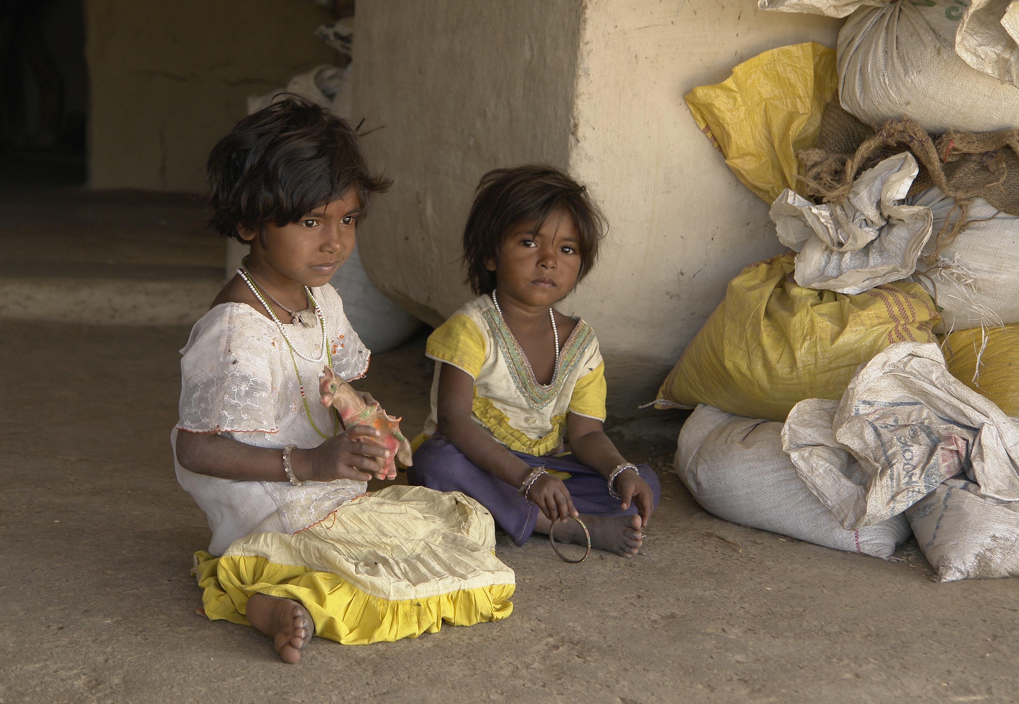
Young girls in the Raisen district
According to the 2011 census Raisen District has a population of 1,331,699,[5] roughly equal to the nation of Mauritius[6] or the US state of Maine.[7] This gives it a ranking of 365th in India (out of a total of 640).[5] The district has a population density of 157 inhabitants per square kilometre (410 /sq mi) .[5] Its population growth rate over the decade 2001-2011 was 18.36%.[5] Raisen has a sex ratio of 899 females for every 1000 males,[5] and a literacy rate of 74.26%.[5]
Tourism[]
Raisen District has many tourism places like Sanchi:- World heritage, 46 km from Bhopal and 8 km from Vidisha, Bhojpur:- The Bjojpur temple houses the largest Shiva lingam in India, which is 5.5 m (18 ft) tall and 2.3 m (7.5 ft) in circumference and is crafted out a single rock.
Transportation[]
Raisen is 45 km from Bhopal, Its connected to Bhopal via NH-86. NH-12 also passes thru the District.
References[]
- ^ a b "Raisen". Raisen district administration. http://raisen.nic.in/. Retrieved 2010-08-14.
- ^ "District Census Handbook - Raisen". 2011 Census of India (Directorate of Census Operations, Madhya Pradesh). http://www.censusindia.gov.in/2011census/dchb/2329_PART_B_DCHB_RAISEN.pdf. Retrieved 2015-07-21.
- ^ "An Historical and Artistic Description of Sanchi (1918)". http://projectsouthasia.sdstate.edu/docs/archaeology/primarydocs/Sanchi/HistArt.htm. Retrieved 2010-08-14.
- ^ "Rock Shelters of bhimbhetka". UNESCO. http://whc.unesco.org/pg.cfm?cid=31&id_site=925. Retrieved 2010-08-14.
- ^ a b c d e f "District Census 2011". Census2011.co.in. 2011. http://www.census2011.co.in/district.php. Retrieved 2011-09-30.
- ^ US Directorate of Intelligence. "Country Comparison:Population". https://www.cia.gov/library/publications/the-world-factbook/rankorder/2119rank.html. Retrieved 2011-10-01. "Mauritius 1,303,717 July 2011 est."
- ^ "2010 Resident Population Data". U. S. Census Bureau. http://2010.census.gov/2010census/data/apportionment-pop-text.php. Retrieved 2011-09-30. "Maine 1,328,361"
External links[]

|
Vidisha district | Sagar district |
| |
| Bhopal district | ||||
 Raisen district | ||||
| Sehore district | Hoshangabad district | Narsimhapur district |
| ||||||||||||||||||||
| |||||||||||||||||||||||
Template:Narmada basin
| This article related to a location in Madhya Pradesh is a stub. You can help by expanding it. |
| This page uses content from the English language Wikipedia. The original content was at Raisen district. The list of authors can be seen in the page history. As with this Familypedia wiki, the content of Wikipedia is available under the Creative Commons License. |