| Main | Births etc |
|---|
| Rácalmás | |||
|---|---|---|---|
| — Town (Város) — | |||
 |
|||
|
|||
 |
|||

Rácalmás |
|||
Rácalmás |
|||
| Coordinates: | |||
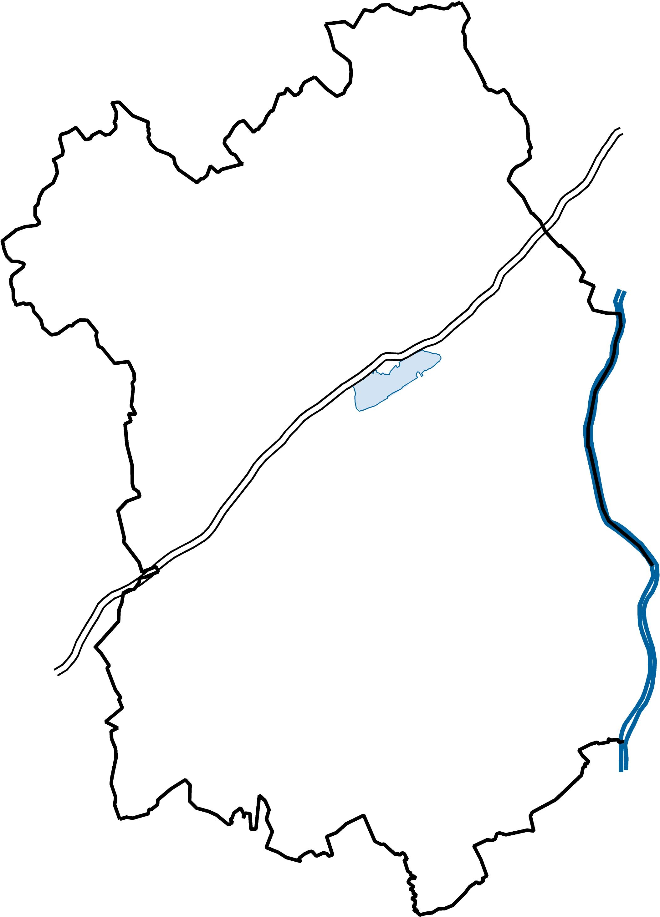
| Country | |||
| Region | Central Transdanubia | ||
| County | Fejér | ||
| Subregion | Dunaújváros | ||
| Government | |||
| • Mayor | István Schrick (RVSZE) | ||
| Area | |||
| • Total | 40.64 km2 (15.69 sq mi) | ||
| Elevation | 134 m (440 ft) | ||
| Population (1-1-2014) | |||
| • Total | 4 558 | ||
| • Density | 109.99/km2 (284.9/sq mi) | ||
| Time zone | CET (UTC+1) | ||
| • Summer (DST) | CEST (UTC+2) | ||
| Postal code | 2459 | ||
| Dialing code | 25 | ||
| Website | http://www.racalmas.hu/ | ||
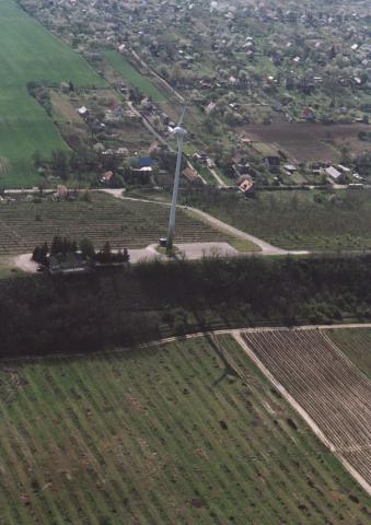
Rácalmás is a town in Fejér County, Central Transdanubia Region, Hungary, located on the right side of river Danube around 61 km south of Budapest.
The Name Rácalmás is derived from a Special Tribe that Tend the Apple Orchards. There is also on a Grassed area alongside of a Lake in the Town, A white Tree Called, the Holmar Apple Tree.
Twin towns — Sister cities[]
Rácalmás is twinned with:
 Dransfeld, Germany
References[]
External links[]
- Media related to Rácalmás at Wikimedia Commons
- Official website (Hungarian)
- Related link colletcion (Hungarian)
- Street map (Hungarian)
| |||||||||||||||||