| Main | Births etc |
|---|
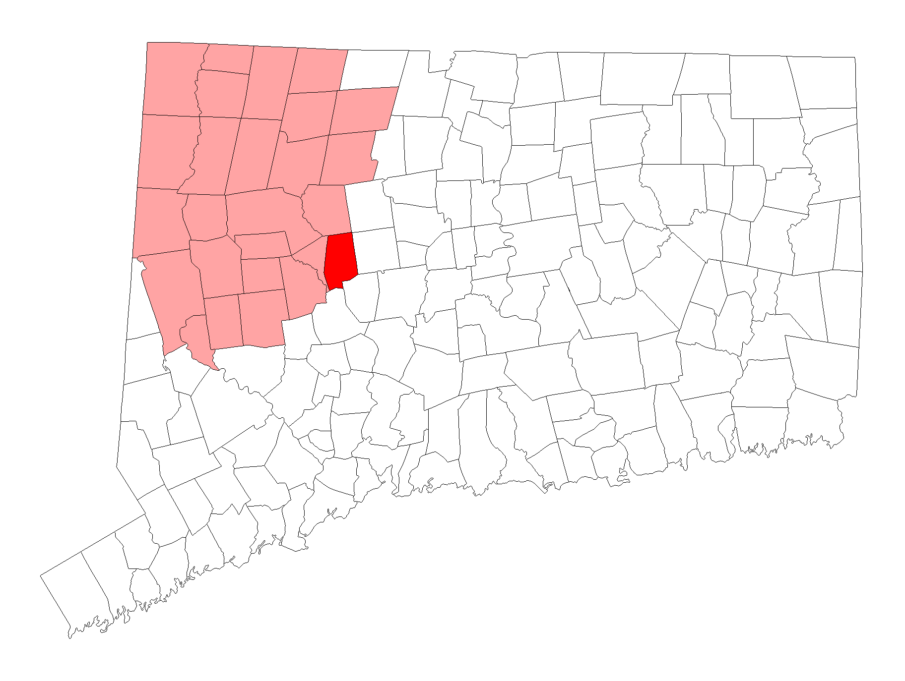
| Plymouth, Connecticut | |||
|---|---|---|---|
| — Town — | |||
|
|||
 |
|||
| Coordinates: Coordinates: | |||
| Country | United States | ||
| State | Connecticut | ||
| NECTA | Hartford | ||
| Region | Central Connecticut | ||
| Incorporated | 1795[1] | ||
| Government | |||
| • Type | Mayor-council | ||
| • Mayor | Vincent Festa | ||
| Area | |||
| • Total | 22.3 sq mi (57.8 km2) | ||
| • Land | 21.7 sq mi (56.3 km2) | ||
| • Water | 0.6 sq mi (1.5 km2) | ||
| Elevation | 873 ft (266 m) | ||
| Population (2013) | |||
| • Total | 12,243 | ||
| • Density | 550/sq mi (210/km2) | ||
| Time zone | Eastern (UTC-5) | ||
| • Summer (DST) | Eastern (UTC-4) | ||
| ZIP code | 06782, 06786 | ||
| Area code(s) | 860 | ||
| FIPS code | 09-60750 | ||
| GNIS feature ID | 0213489 | ||
| Website | plymouthct.us | ||
Plymouth is a town in Litchfield County, Connecticut, United States. It is named after Plymouth, Devon, England. The population was 12,243 at the 2010 census. The town of Plymouth includes the villages of Terryville and Pequabuck.
History[]
The community was incorporated in 1795,[2] and became known nationally for the manufacture of clocks.[1] The town was named after Plymouth, Massachusetts.[3] Plymouth (formerly Northbury[a section of Waterbury]) was originally used as a burying ground for Waterbury. History records show that it was founded by a group of people who believed they found a large deposit of lead, this fabled "lead mine" never actually existed (or is still yet to be discovered). The oldest home in the community is believed to be on South Eagle Street, or North Main Street.
In the 1790s, George Washington traveled through here, both to visit relatives, and to stay away from the coastline. He traveled through Washington Road, which originally stretched from Park Street in Bristol, CT to Thomaston, Connecticut. currently, it leads from Scott Road on Town hill, to East Washington Road Extension (an unpaved road that leads South Main Street to Town Hill). From here it leads to East Washington road, which stops at Tunnel Road. Town Hill was originally supposed to be the center of town, and Washington Road was intended to be Main Street, but lack of water supply caused Main Street to be moved to Route 6 (a road made in the 1830s that was one of the first roads to stretch from the tip of Massachusetts to California).
The Terry family participated in a great deal of Plymouth's history. Eli Terry joined partnership with Seth Thomas (clockmaker) and Silas Hoadley to manufacture clocks in the Greystone section of town. Eli gave the factory to Silas, and opened his own clock factory off of Route 6, while Seth moved to Plymouth Hollow. Eli Terry, Jr. (son of Eli Terry) joined up with another man who was interested in the cabinet and lock industry, and they opened Eagle Lock Company. In the 1880s, the Plymouth Hollow section of town decided to split off, and become their own town called Thomaston, Connecticut, named after Seth Thomas (clockmaker). The Eagle Lock Company closed in the 1970s, and later in 1975, the entire abandoned industry burned to the ground, leaving one building left undamaged; the rest of the buildings where torn down, or had floors removed.
Main Street School was once located on the green or Baldwin Park in Terryville, it was demolished in the 1930s and the new Terryville High School was constructed behind the green on North Main Street. In the mid-2000s, Prospect Street School, and Main Street School (previously called East Main Street) were left abandoned, so the construction of the new Terryville High School could begin in the Holt section of town. Harry S. Fisher Middle School, turned into Harry S. Fisher Elementary, and the old Terryville High School turned into Eli Terry Jr. Middle School.[4]
Geography[]
According to the United States Census Bureau, the town has a total area of 22.3 square miles (58 km2), of which 21.7 square miles (56 km2) is land and 0.6 square miles (1.6 km2), or 2.69%, is water. The town contains the Mattatuck State Forest.
Principal communities[]
- Allentown
- East Plymouth Historic District, listed on the NRHP in Connecticut
- Greystone
- Hancock
- Pequabuck (has its own post office)
- Plymouth center, listed on the NRHP in Connecticut
- Terryville (has its own post office)
- Tolles
- Town Hill
Demographics[]
As of the census[5] of 2000, there were 11,634 people, 4,453 households, and 3,228 families residing in the town. The population density was 535.6 people per square mile (206.8/km²). There were 4,646 housing units at an average density of 213.9 per square mile (82.6/km²). The racial makeup of the town was 97.34% White, 0.78% African American, 0.15% Native American, 0.42% Asian, 0.01% Pacific Islander, 0.32% from other races, and 0.97% from two or more races. Hispanic or Latino of any race were 1.26% of the population.
There were 4,453 households out of which 34.2% had children under the age of 18 living with them, 58.7% were married couples living together, 9.7% had a female householder with no husband present, and 27.5% were non-families. 22.8% of all households were made up of individuals and 9.2% had someone living alone who was 65 years of age or older. The average household size was 2.60 and the average family size was 3.06.
In the town the population was spread out with 25.8% under the age of 18, 6.5% from 18 to 24, 31.8% from 25 to 44, 23.3% from 45 to 64, and 12.7% who were 65 years of age or older. The median age was 38 years. For every 100 females there were 99.1 males. For every 100 females age 18 and over, there were 95.6 males.
The median income for a household in the town was $53,750, and the median income for a family was $62,610. Males had a median income of $41,985 versus $32,359 for females. The per capita income for the town was $23,244. About 2.7% of families and 4.1% of the population were below the poverty line, including 2.9% of those under age 18 and 5.3% of those age 65 or over.
Education[]
Plymouth is served by the Plymouth Public Schools (Connecticut) School District. There are four schools in the district and students attend Terryville High School. Dr. Anthony W. Distasio is the Superintendent of Schools.[6][7][8]
Transportation[]
The town is served by Route 6, Route 72, and Route 262.
Notable people[]
- Judson Allen, United States Congressman from New York[9]
- Dorence Atwater, soldier who recorded 13,000 soldiers deaths while he was a prisoner, sent to the parole board in Annapolis.
- Moses Dunbar (1716–-1777), The only person ever convicted of high treason in the state of Connecticut, who lived in Plymouth and Bristol at the time.[10]
- Henry Dutton (1796–1869), 38th Governor of Connecticut.[11]
- Calista Flockhart, actress. Family still lives in Todd Hollow.
- Silas Hoadley, a clock maker who learned from Eli Terry, and owned his own clock factory in the Greystone section of town.[12]
- Ted Knight, American actor (from Terryville)
- Eli Terry, resident, clockmaker
References[]
- ^ a b "Plymouth Town History". Plymouth Town History. http://www.plymouthct.us/history.htm. Retrieved December 3, 2012.
- ^ "Plymouth, Connecticut". City-Data.com. http://www.city-data.com/city/Plymouth-Connecticut.html. Retrieved December 3, 2012.
- ^ "Profile for Plymouth, Connecticut, CT". ePodunk. http://www.epodunk.com/cgi-bin/genInfo.php?locIndex=9249. Retrieved December 3, 2012.
- ^ Giguere, Judy. Plymouth Revisited. Charleston, SC: Arcadia Pub., 2011. Print.
- ^ "American FactFinder". United States Census Bureau. http://factfinder.census.gov. Retrieved 2008-01-31.
- ^ "Plymouth Education". Town of Plymouth. http://www.plymouthct.us/education.htm. Retrieved December 3, 2012.
- ^ "Plymouth School District Schools". GreatSchools Inc. http://www.greatschools.org/connecticut/terryville/Plymouth-School-District/schools/. Retrieved December 3, 2012.
- ^ "Plymouth Public Schools". Plymouth Public Schools. http://www.plymouth.k12.ct.us//. Retrieved December 3, 2012.
- ^ Who Was Who in America, Historical Volume, 1607-1896. Marquis Who's Who. 1967.
- ^ text : Plymouth 1776-1976
- ^ "Henry Dutton". National Governors Association. http://www.nga.org/cms/home/governors/past-governors-bios/page_connecticut/col2-content/main-content-list/title_dutton_henry.html. Retrieved 1 December 2012.
- ^ "Silas Hoadley". Find A Grave. http://www.findagrave.com/cgi-bin/fg.cgi?page=gr&GRid=67122663. Retrieved December 3, 2012.
Further reading[]
- "History of the town of Plymouth, Connecticut: with an account of the centennial celebration May 14 and 15, 1895", published by Journal Pub. Co. in 1895.
External links[]
- Town of Plymouth official website
- Terryville Public Library
- Plymouth Public Schools
- City-Data.com
- ePodunk: Profile fr Plymouth, Connecticut
| ||||||||||||||||||||
| ||||||||||||||||

| This page uses content from the English language Wikipedia. The original content was at Plymouth, Connecticut. The list of authors can be seen in the page history. As with this Familypedia wiki, the content of Wikipedia is available under the Creative Commons License. |