| ||||||||||||||
This article is about the district. For its eponymous headquarters, see Phek.
| Phek district | |
|---|---|
| — District — | |
 |
|
 |
|
| Coordinates: Coordinates: | |
| State | Nagaland |
| Country | India |
| Seat | Phek |
| Population (2011) | |
| • Total | 163,294 |
| Time zone | IST (UTC+05:30) |
| ISO 3166 code | IN-NL-PH |
| Website | http://phek.nic.in/ |
Phek is a district of Nagaland state in India.
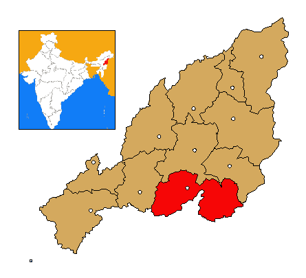
Geography[]
The district headquarters are in the town of Phek.
Demographics[]
According to the 2011 census Phek district has a population of 163,294 ,[1] roughly equal to the nation of Saint Lucia.[2] This gives it a ranking of 596th in India (out of a total of 640).[1] Phek has a sex ratio of 951 females for every 1000 males,[1] and a literacy rate of 79.13 %.[1]
References[]
- ^ a b c d "District Census 2011". Census2011.co.in. 2011. http://www.census2011.co.in/district.php. Retrieved 2011-09-30.
- ^ US Directorate of Intelligence. "Country Comparison:Population". https://www.cia.gov/library/publications/the-world-factbook/rankorder/2119rank.html. Retrieved 2011-10-01. "Saint Lucia 161,557 July 2011 est."
External links[]

|
Zunheboto district | Kiphire district |
| |
| Kohima district | Myanmar | |||
 Phek district | ||||
| Senapati district, Manipur | Ukhrul district, Manipur |
| |||||
| This page uses content from the English language Wikipedia. The original content was at Phek district. The list of authors can be seen in the page history. As with this Familypedia wiki, the content of Wikipedia is available under the Creative Commons License. |