| Main | Births etc |
|---|
| Pettistree | |
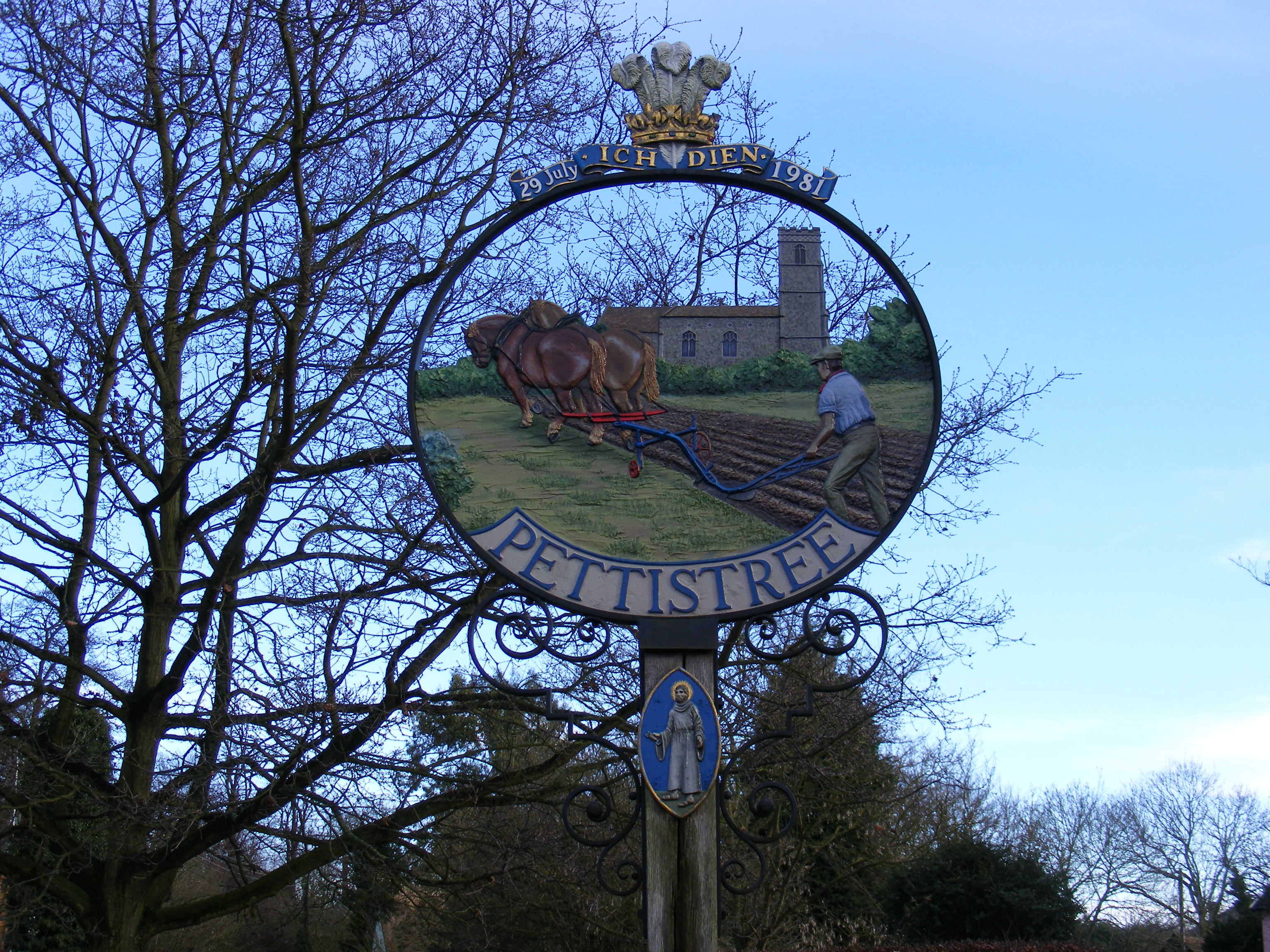 Village Sign |
|
| Population | 194 (2001) |
|---|---|
| OS grid reference | |
| District | Suffolk Coastal |
| Shire county | Suffolk |
| Region | East |
| Country | England |
| Sovereign state | United Kingdom |
| Post town | Woodbridge |
| Postcode district | IP13 |
| Dialling code | 01728 |
| Police | Suffolk |
| Fire | Suffolk |
| Ambulance | East of England |
| EU Parliament | East of England |
| List of places: UK • England • Suffolk | |
Pettistree is a small village and a civil parish in the Suffolk Coastal District, in the English county of Suffolk. According to the 2011 Census, Pettistree had a population of 194 people[1] and is set in around 1,800 acres of farmland. The village has many footpaths and country lanes surrounding it. Being only one mile from the larger village of Wickham Market, Pettistree uses many of their resources; such as the Post Office, Medical and Resource Centre and Children's Play Area. The Primary School situated in Wickham Market also serves the younger children of Pettistree. However, senior children are required to travel 7 miles to Thomas Mile High School which is situated in Framlingham.
Pettistree House is a Georgian country manor house set in 13 acres of parkland. The civil parish of Pettistree comprises the manor of Pettistree, the manor of Byng, and the manor of Loudham. Byng Hall is a castellated 16th century manor house. Loudham Hall is a fine Georgian country manor house set in 69 acres. The village church of St Peter and St Pauls was originally built in the Thirteenth Century. Pettistree is just south of the small town of Wickham Market. For transport there is the A12 road nearby.
In 1887,in the Gazetteer of the British Isles, John Bartholomew described Pettistree as
- "Pettistree, par. and vil., Suffolk, 4 miles NE. of Woodbridge, 1767 ac., pop. 275; near the vil. is Pettistree lodge, seat"[2]
Demographics[]

Population graph of Pettistree as reported by Census Data
Population[]
The earliest census statistics date back to 1801. At this time, Pettistree had a population of 241 people. The highest recorded population for the Parish was in 1841 with a population of 303 people. Since 1931 the population of the village has been decreasing.[3] According to the 2011 census, Pettistree had a population of 194 people- of which 100 people are male and 94 are female.[4] In 2011, the average age of residents living in Pettistree was 43.2 years.[5]
Occupation[]

Occupation of Males in Pettistree as reported in the 1881 Census
The 1881 Census shows the occupational data of Males of Pettistree; agriculture employed the greatest number of males- with fifty men working in this industry. No men were considered to be professional. However, the 1881 Census was the first Census to introduce women's occupations. One woman was considered a professional, twenty five worked in Domestic Services or Offices, one was a Dress Worker whilst thirty one women were not considered to have a specified occupation and a further 17 women had an unknown occupation.[6] The occupations of residents who live in Pettistree has changed over the years and in the 2011 Census there were 92 economically active residents and 55 economically inactive residents. However, 33 of the economically inactive residents were retired.[7] The industry which employs the greatest number of people in Pettistree is Health and Social Work Activities with 12% of total residents working in this sector. In addition, the second most popular industry was Public Administration and Defence, employing a total of 10.9% of people. However, there were 3 sectors in which no residents were employed; they were Mining and Quarrying, Water Supply; Sewerage Waste Management and Remediation Activities and Gas, Electricity, Steam and Air Conditioning Supply.[8]
Religion[]
114 residents (58.8%) of all residents in the Parish were Christian,[9] this was just below the 2011 national average of 59.3% (33.2million people).[10] The second largest religious group in England, in 2011 were Muslims with 2.7 million people (4.8% of the Englands population).[10] Yet, in Pettistree, no residents were Muslim. In fact 58 people (29.9%) of all residents stated that they practised no religion at all.[9]
Housing[]
In total, there are 77 households in Pettistree. A majority of the houses are detached (60) with the remaining 17 houses being semi-detached. There are no terraced houses in the village.[11] The overall average house price in Pettistree is £334,333,[12] which is much higher than the UK average of £250,000[13] Of the 194 residents, 186 are permanent residents with the remaining 8 households being Second homes.[14]
History[]
Before Christianity came to Pettistree, it is believed that people worshipped an Ancient tree which was sacred to Odin. The First churches were built with the coming of Missionaries from Rome and were dedicated to St Peter and St Paul who were Patron Saints of Rome. The churches stood near the sacred tree and so this district "received the name of Peter's Tree or Pettistree. Over the years Pettistree has been spelt in various ways: Pedestree, Petestre, Petistre, Petistree, Petrestre, Petristrel, Petrystree, Pettitre, Pistre, Pistreye, Pitestrey, Pittistree".[15] Edric the Grim and King Harold were the Lords of the Manor of Wickham and the hamlets of Pettistree, Bing, Loudham and Harpole before the Norman Conquest". Parts of Pettistree (Bing) are mentioned in the Doomsday Book, although this was the Ancient village. It is thought that the present village was a later development and was established due to a shifting population after one of the plagues attacked the Ancient village. "The Old centres of population were found around Byng Hall Estate and Loudham Hall Estate. It is thought that Byng Hall is an old Roman settlement due to the brick kiln, pit and Roman tiles which were discovered in 1846[15] The green in front of the present Byng Hall was commonly known as Market Field; in 1253 Sir Roger de Huntingfield granted a market to be placed there.
Present Day[]
Pettistree is described as a "civil parish/community" by MapItUK.[16] The nearest railway station to Pettistree is Wickham Market and is situated at a distance of 3 and half miles from Pettistree.[17] There are two buses which serve the village of Pettistree, these are the Number 63 Bus which runs from Ipswich to Framlington and the Number 64 bus which runs from Ipswich to Aldeburgh . Neither bus runs on a Sunday. Both Buses are operated by Eastern Counties Bus Operators.[18]
Churches[]
The Church of St Peter and St Paul was built in the Thirteenth Century- the original font's base as well as the Grisaille Glass remains


SS Peter and Paul, Pettistree – geograph.org.uk – 119745
intact in the building today, Although the original church was likely to have been low and towerless, this changed as the village become more wealthy. As the wealth of the settlement grew, Campsea priory added both Loudham and Pettistree to its dependent parishes and the re-construction of the original church began in the 14th Century. Again, further improvements were made to the church in the Fifteenth Century with the tower, bells, brash and benches for the congregation all being added. These improvements came with an increasing population. However, during the Reformation many of these features were destroyed or defaced including the original stain glassed window. Due to Pettistree being a relatively small Parish it has never had its own Parish Priest and since the late seventeenth Century it has been linked to both nearby Bredfield and Wickham Market.
The church underwent some restorations in the late Twentieth Century; the original tower was restored in 1979 and the bells then in 1989 after being damaged in the Second World War. Finally the "medieval glass in the chancel was restored in 1991 by Surinder Warboys and was dedicated to the Harvest Festival"- Suffolk Parish Council.[19]
Parish Council[]
Formed in 1970 Pettistree Parish Council was established by Mr W Frith who was one of St Peter and St Pauls Parishioners. Frith then acted as Parish Clerk for many years following. At that time there were only five members but in 1988 the membership increased to 7. The Parish Council deals with problems such as drainage, ditches and overall maintenance of the church. In the early years, the Council also discussed the building of Wickham Market By-pass which had been awaited for over 30 years.The Parish Council, through the Suffolk Coastal District Council is able to collect a portion of Council Tax to fund village activities. The council acts on behalf of Pettistree's Community and is responsible for the maintenance of the village- including the Village Green, footpaths and bridleways. The Parish Council acts as the voice of the community, representing the residents views for things such as applications of planning. The Annual Parish Meeting is usually held in late May or early June. Here, local electors are able to discuss any issues that they wish the Parish Council to focus and act upon in the next year.[20]
References[]
- ^ "Pettistree Key Figures for the 2011 Census". Neighbourhood Statistics. Office for National Statistics. http://www.neighbourhood.statistics.gov.uk/dissemination/LeadTableView.do?a=7&b=11127541&c=Pettistree&d=16&e=62&g=6467149&i=1001x1003x1032x1004&m=0&r=1&s=1391596878622&enc=1&dsFamilyId=2473. Retrieved 5 February 2014.
- ^ Bartholomew, John (1887). Gazetteer of the British Isles (1st ed.). Edinburgh: Bartholomew. http://www.visionofbritain.org.uk/descriptions/1757230. Retrieved 5 February 2014.
- ^ "Total Population of Pettistree 1801– 1961". Vision of Britain. http://www.visionofbritain.org.uk/unit/10265990/cube/TOT_POP. Retrieved 25 March 2014.
- ^ "Pettistree Parish: Key Figures for 2011 Census: Key Statistics". Neighbourhood Statistics. Office for National Statistics. http://www.neighbourhood.statistics.gov.uk/dissemination/LeadTableView.do?a=7&b=11127541&c=Pettistree&d=16&e=62&g=6467149&i=1001x1003x1032x1004&m=0&r=1&s=1394969094449&enc=1&dsFamilyId=2479&nsjs=true&nsck=false&nssvg=false&nswid=1366. Retrieved 16 March 2014.
- ^ "Pettistree Parish: Key Statistics for 2011 Census: Age Structure, 2011". Neighbourhood Statistics. Office for National Statistics. http://www.neighbourhood.statistics.gov.uk/dissemination/LeadTableView.do?a=7&b=11127541&c=Pettistree&d=16&e=62&g=6467149&i=1001x1003x1032x1004&m=0&r=1&s=1394910067209&enc=1&dsFamilyId=2474. Retrieved 16 March 2014.
- ^ GB Historical GIS / Pettistree CP/AP through time. "Industry Statistics 1881". A Vision of Britain Through Time. GB Historical GIS / University of Portsmouth. http://www.visionofbritain.org.uk/unit/10265990/cube/OCC_ORDER1881. Retrieved 16 March 2014.
- ^ "Pettistree Parish: Quick Statistics for 2011 Census: Economic Activity, 2011". Neighbourhood Statistics. Office for National Statistics. http://www.neighbourhood.statistics.gov.uk/dissemination/LeadTableView.do?a=7&b=11127541&c=Pettistree&d=16&e=61&g=6467149&i=1001x1003x1032x1004&m=0&r=1&s=1394908843225&enc=1&dsFamilyId=2521. Retrieved 16 March 2014.
- ^ "Pettistree Parish: Key Statistics for 2011 Census: Industry, 2011". Neighbourhood Statistics. Office for National Statistics. http://www.neighbourhood.statistics.gov.uk/dissemination/LeadTableView.do?a=7&b=11127541&c=Pettistree&d=16&e=62&g=6467149&i=1001x1003x1032x1004&m=0&r=1&s=1394910067209&enc=1&dsFamilyId=2538. Retrieved 16 March 2014.
- ^ a b "Pettistree Parish: Key Statistics for 2011 Census: Religion, 2011". Neighbourhood Statistics. Office for National Statistics. http://www.neighbourhood.statistics.gov.uk/dissemination/LeadTableView.do?a=7&b=11127541&c=Pettistree&d=16&e=62&g=6467149&i=1001x1003x1032x1004&m=0&r=1&s=1394910067209&enc=1&dsFamilyId=2479. Retrieved 16 March 2014.
- ^ a b "Religion in England and Wales 2011". Office for National Statistics. http://www.ons.gov.uk/ons/rel/census/2011-census/key-statistics-for-local-authorities-in-england-and-wales/rpt-religion.html. Retrieved 16 March 2014.
- ^ "Accommodation Type: Household spaces". Neighbourhood Statistics. Office for National Statistics. http://www.neighbourhood.statistics.gov.uk/dissemination/LeadTableView.do?a=7&b=11127541&c=Pettistree&d=16&e=7&g=6467149&i=1001x1003x1004&m=0&r=1&s=1395774483023&enc=1&dsFamilyId=149. Retrieved 25 March 2014.
- ^ "House Prices in Pettistree, Woodbridge, Suffolk". RightMove. http://www.rightmove.co.uk/house-prices/Pettistree.htm. Retrieved 16 March 2014.
- ^ "UK Average House Price". BBC Business. BBC News. http://www.bbc.co.uk/news/business-26239609. Retrieved 16 March 2014.
- ^ "Second Address,2011". Neighbourhood Statistics. Office for National Statistics. http://www.neighbourhood.statistics.gov.uk/dissemination/LeadTableView.do?a=7&b=11127541&c=Pettistree&d=16&e=7&g=6467149&i=1001x1003x1004&m=0&r=1&s=1395774483023&enc=1&dsFamilyId=149. Retrieved 25 March 2014.
- ^ a b "Pettistree Village History". Pettistree Village History. Suffolk Parish Council. http://www.pettistree.suffolk.gov.uk/villagehistory.html. Retrieved 26 February 2014.
- ^ "Pettistree". MapIt: UK. http://mapit.mysociety.org/area/60601.html. Retrieved 16 March 2014.
- ^ "Nearest Train Station to Pettistree". Nearest Train Station. http://www.nearesttrainstation.co.uk/suffolk/nearest-train-station-to-pettistree.html. Retrieved 16 March 2014.
- ^ "Public Transport Information". Travel Search. http://www.carlberry.co.uk/rfnlistr.asp?L1=PET0100&op=D. Retrieved 16 March 2014.
- ^ "Pettistree Church History". St Peter and St Paul Church, Pettistree. Suffolk Parish Council. http://www.pettistree.suffolk.gov.uk/churchhistory.html. Retrieved 24 February 2014.
- ^ "Pettistree Parish Council". Pettistree Parish Council. http://www.pettistree.suffolk.gov.uk/parishcouncil.html. Retrieved 16 March 2014.
| ||||||||||||||
| This page uses content from the English language Wikipedia. The original content was at Pettistree. The list of authors can be seen in the page history. As with this Familypedia wiki, the content of Wikipedia is available under the Creative Commons License. |