| Main | Births etc |
|---|
| Orchard Hills Sydney, | |||||||||||||
| Postcode: | 2748 | ||||||||||||
| Location: | 56 km (35 mi) west of Sydney CBD | ||||||||||||
| LGA: | Penrith City Council | ||||||||||||
| State District: | Mulgoa | ||||||||||||
| Federal Division: | Lindsay, McMahon | ||||||||||||
| |||||||||||||
Orchard Hills is a suburb of Sydney, in the state of New South Wales, Australia 56 kilometres west of the Sydney central business district, in the local government area of the City of Penrith. It is part of the Greater Western Sydney region.
History[]
Orchard Hills takes its name from the orchards located on the area's undulating hills at the turn of the 20th century. In 1806, Governor Philip King granted 600 acres (2.4 km2) in what is now Orchard Hills to Mary Putland, the daughter of the incoming governor, William Bligh. She named the property Frogmore. Adjoining the Frogmore Estate was the York Estate, originally owned by the York family. When it was subdivided in the late 1880s, the land was mainly sold for orchards and vineyards. By the early 1900s a rural community had established in the area and a village developed. The Mount Hope Methodist Church was built in 1904 and the York Estate Public School was built in 1910. Until this time the area had no consistent name being known by different people as Frogmore, York and Mount Hope. A public meeting was called in October 1910 at the new school to choose a name and Orchard Hills won the day.[1]
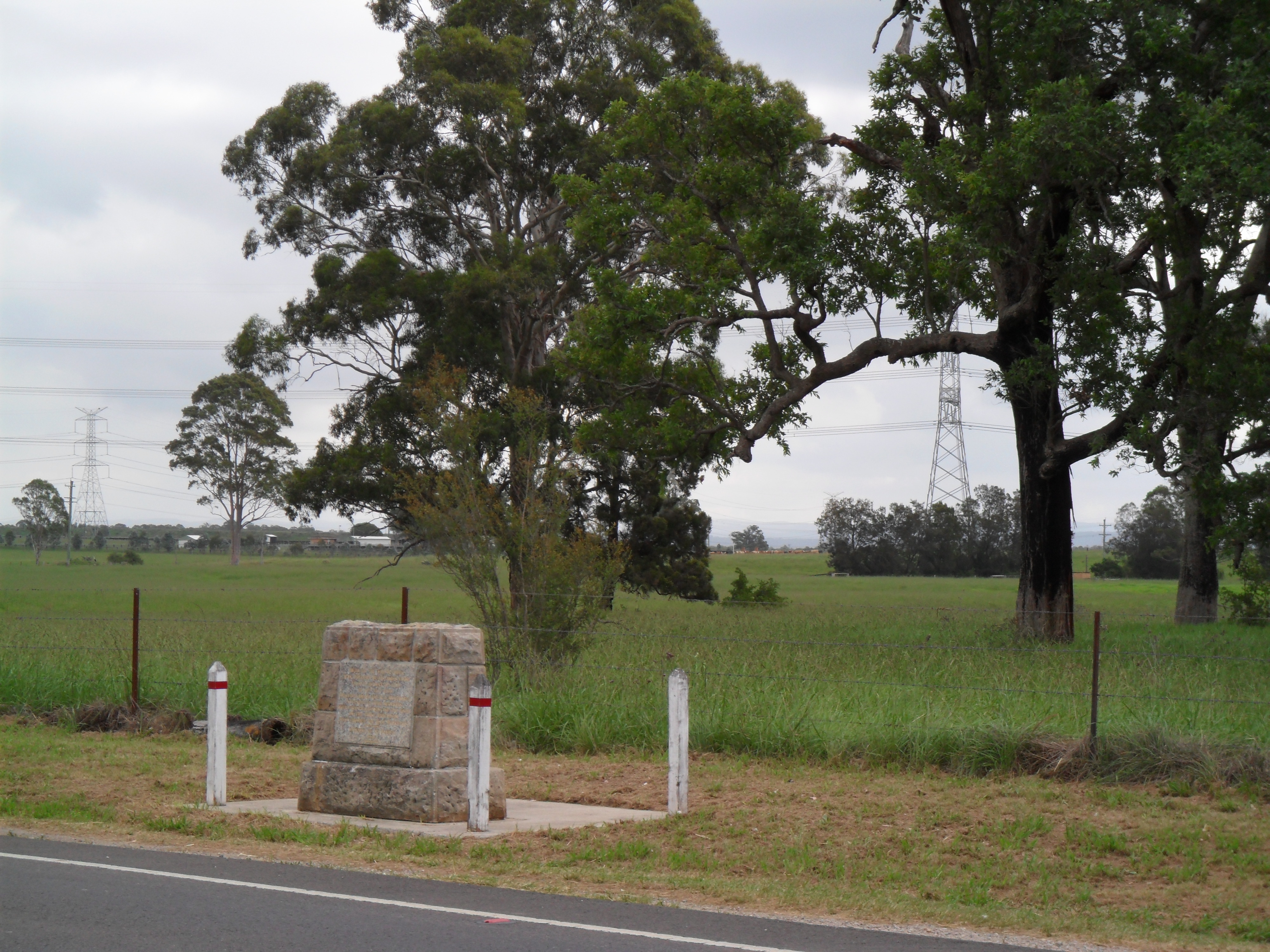
Explorer's cairn on Luddenham Road, Orchard Hills
References[]
- ^ "Penrith Local Suburb Profiles - Orchard Hills". Penrith City Council. http://www.penrithcity.nsw.gov.au/index.asp?id=435. Retrieved 8 June 2008.
External links[]
| This article related to the geography of Sydney is a stub. You can help by expanding it. |
| This page uses content from the English language Wikipedia. The original content was at Orchard Hills, New South Wales. The list of authors can be seen in the page history. As with this Familypedia wiki, the content of Wikipedia is available under the Creative Commons License. |