| Main | Births etc |
|---|
| Mortlake Sydney, | |||||||||||||
 Mortlake Punt | |||||||||||||
| Population: | 489 [1] | ||||||||||||
| Postcode: | 2137 | ||||||||||||
| Area: | 0.2 km² (0.1 sq mi) | ||||||||||||
| Location: | 17 km (11 mi) west of Sydney CBD | ||||||||||||
| LGA: | City of Canada Bay | ||||||||||||
| State District: | Drummoyne | ||||||||||||
| Federal Division: | Reid | ||||||||||||
| |||||||||||||
Mortlake is a suburb in the Inner West[2] of Sydney, in the state of New South Wales, Australia. It is 17 kilometres west of the Sydney central business district, in the local government area of the City of Canada Bay.
Transport[]
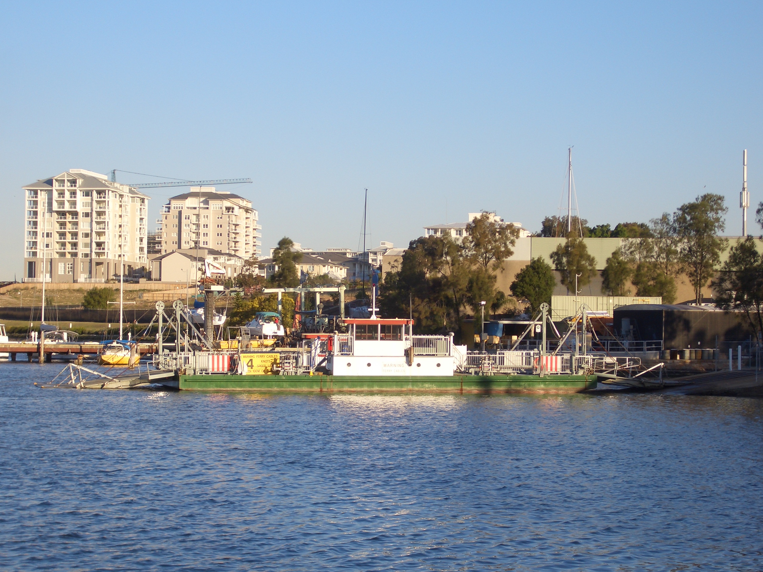
Mortlake sits on the southern bank of the Parramatta River and is home to the southern bank of the Mortlake Ferry or commonly known as the Putney Punt, the last surviving punt service in Sydney. Mortlake is also The Terminus for bus routes 439 & L39 (to Circular Quay via Five Dock Shops and Leichhardt) and 464 (to Ashfield railway station).
History[]
Mortlake was originally known as Bottle Point.
The suburb's name is derived from its namesake Mortlake, by the banks of the Thames in London. Parramatta River had been known as the 'Thames of the Antipodes' and other nearby suburbs were also named after Thames localities of Greenwich, Woolwich and Putney.
Mortlake was notable as the site of the Australian Gas Light Company (AGL) gas works, which first purchased land here in 1883. Colliers from Newcastle brought coal to the gasworks site at Mortlake. When a new Gladesville Bridge was opened in 1964, it was built to replace a bridge that needed to close every time the swing section on the southern end of the bridge had to be opened to permit large vessels to pass through. The gas works closed and the land redeveloped into the Breakfast Point residential development.
Until 1948, an electric tramway connected Mortlake south to the suburbs of Burwood, Enfield and Ashfield.[3]
")
")
References[]
- ^ Australian Bureau of Statistics (25 October 2007). "Mortlake (State Suburb)". 2006 Census QuickStats. http://www.censusdata.abs.gov.au/ABSNavigation/prenav/LocationSearch?collection=Census&period=2006&areacode=SSC11679&producttype=QuickStats&breadcrumb=PL&action=401.
- ^ Australian Suburb Guide: Sydney Inner West Retrieved 8 August 2013.
- ^ D. Keenan: Tramways of Sydney. Transit Press 1979
- The Book of Sydney Suburbs, Compiled by Frances Pollen, Angus & Robertson Publishers, 1990, Published in Australia ISBN 0-207-14495-8
| ||||||||
| |||||||||||||||||||||||||||||
| This page uses content from the English language Wikipedia. The original content was at Mortlake, New South Wales. The list of authors can be seen in the page history. As with this Familypedia wiki, the content of Wikipedia is available under the Creative Commons License. |