| Main | Births etc |
|---|
| Locke, New York | |
|---|---|
| — Town — | |
 |
|

Locke, New York |
|
| Coordinates: | |
| Country | United States |
| State | New York |
| County | Cayuga |
| Government | |
| • Type | Town Council |
| • Town Supervisor | John D. Pierce (R) |
| • Town Council | Members' List
|
| Area | |
| • Total | 24.4 sq mi (63.2 km2) |
| • Land | 24.4 sq mi (63.2 km2) |
| • Water | 0.0 sq mi (0.0 km2) |
| Elevation | 1,020 ft (311 m) |
| Population (2010) | |
| • Total | 1,951 |
| • Density | 80.3/sq mi (30.1/km2) |
| Time zone | Eastern (EST) (UTC-5) |
| • Summer (DST) | EDT (UTC-4) |
| FIPS code | 36-43071 |
| GNIS feature ID | 0979163 |
Locke is a town in Cayuga County, New York, United States. The population was 1,951 at the 2010 census. The town was named after John Locke, an English philosopher and is the birthplace of Millard Fillmore, 13th President of the United States.
The Town of Locke is on the south border of Cayuga County and is southeast of Auburn, New York.
History[]
Locke was in the Central New York Military Tract, used to pay soldiers of the American Revolution. The first settlers arrived in 1790. They found evidence of the earlier occupants, Native Americans, in the form of ruined villages and burial grounds.
The Town of Locke was formed in 1802 from the Town of Genoa, then known as the "Town of Milton." Part of Locke was used in 1817 to form the Town of Groton (now in Tompkins County, New York). Another division of Locke in 1831 formed the Town of Summerhill.
A devastating fire in 1912 destroyed about thirty buildings in Locke village.
A second devastating fire occurred on April 10, 1975 destroying eleven buildings causing approximately $650,000 in damage. The fire was a result of a gasoline tanker losing its brakes while descending State Route 90 and crashing into the bank at the intersection of State Route 90 and State Route 38.
Geography[]
According to the United States Census Bureau, the town has a total area of 24.4 square miles (63 km2), of which, 24.4 square miles (63 km2) of it is land and 0.04 square miles (0.10 km2) of it (0.08%) is water.
North-south New York State Route 38 intersects east-west New York State Route 90 in Locke village.
The Owasco Inlet is a stream flowing northward through the town into Owasco Lake. Hemlock Creek joins the Owasco Inlet at Locke village. The town is in the Finger Lakes District of New York.
Demographics[]
As of the census[1] of 2000, there are 1,900 people, 704 households, and 539 families residing in the town. The population density is 77.9 people per square mile (30.1/km²). There are 760 housing units at an average density of 31.1 per square mile (12.0/km²). The racial makeup of the town is 98.26% White, 0.26% African American, 0.42% Native American, 0.42% Asian, and 0.63% from two or more races. 0.42% of the population are Hispanic or Latino of any race.
There are 704 households out of which 39.3% have children under the age of 18 living with them, 58.8% are married couples living together, 10.1% have a female householder with no husband present, and 23.3% are non-families. 17.6% of all households are made up of individuals and 6.1% have someone living alone who is 65 years of age or older. The average household size is 2.70 and the average family size is 3.00.
In the town the population is spread out with 28.2% under the age of 18, 8.4% from 18 to 24, 29.0% from 25 to 44, 24.5% from 45 to 64, and 9.9% who are 65 years of age or older. The median age is 36 years. For every 100 females there are 100.0 males. For every 100 females age 18 and over, there are 100.6 males.
The median income for a household in the town is $37,885, and the median income for a family is $41,250. Males have a median income of $28,793 versus $22,188 for females. The per capita income for the town is $16,580. 8.9% of the population and 7.0% of families are below the poverty line. Out of the total population, 10.8% of those under the age of 18 and 2.2% of those 65 and older are living below the poverty line.
Communities and locations in Locke[]
- Centerville – An historic location north of Locke village.
- Chipman Corners – A hamlet in the southeast of the town on County Road 161 (Chipman Corners Road).
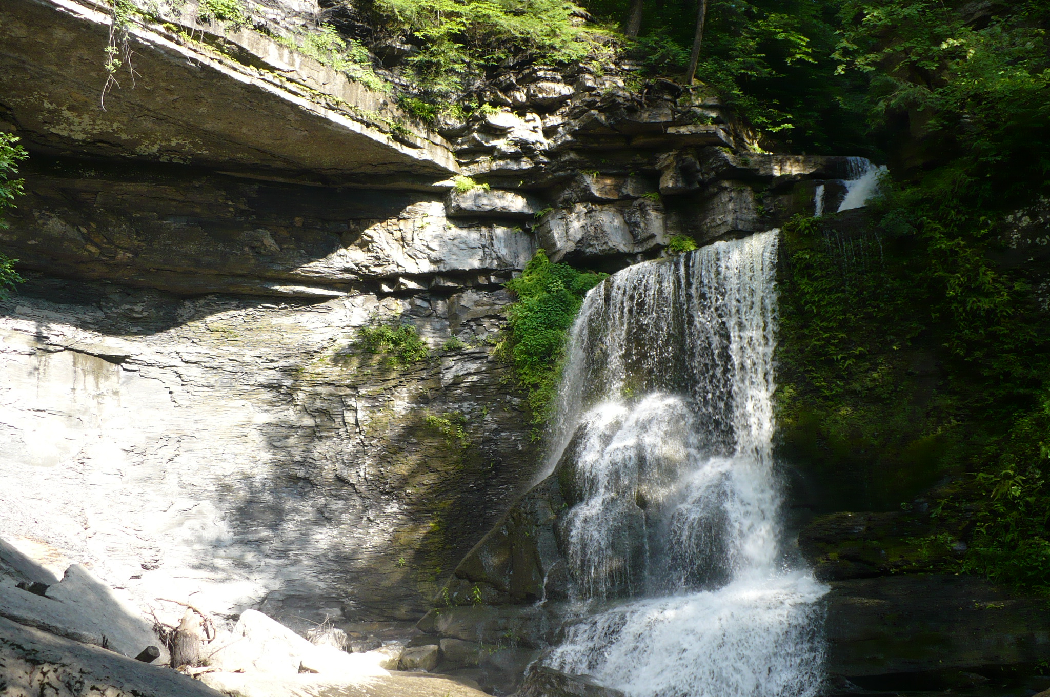
- Fillmore Glen State Park – A state park partly in Locke at the north town line.
- Locke (formerly "Milan") – A hamlet near the center of the town at the junction of NY-38 and NY-90 and the confluence of Owasco Inlet and Hemlock Creek.
- Shaw Corners – A location east of Locke village on NY-90.
- Satterly Corners – A location north of Shaw Corners on County Road 54 (Toll Gate Road).
- Toll Gate Corners – A hamlet at the north town line near the state park.
- Grisamore Farms – A popular location for fresh apples, blueberries, raspberries, strawberries, peaches, pumpkins, edible and ornamental plants.
References[]
- ^ "American FactFinder". United States Census Bureau. http://factfinder.census.gov. Retrieved 2008-01-31.
External links[]
| ||||||||||||||||||||||||||

| This page uses content from the English language Wikipedia. The original content was at Locke, New York. The list of authors can be seen in the page history. As with this Familypedia wiki, the content of Wikipedia is available under the Creative Commons License. |