| ||||||||||||||
| Kauai County, Hawaii | ||
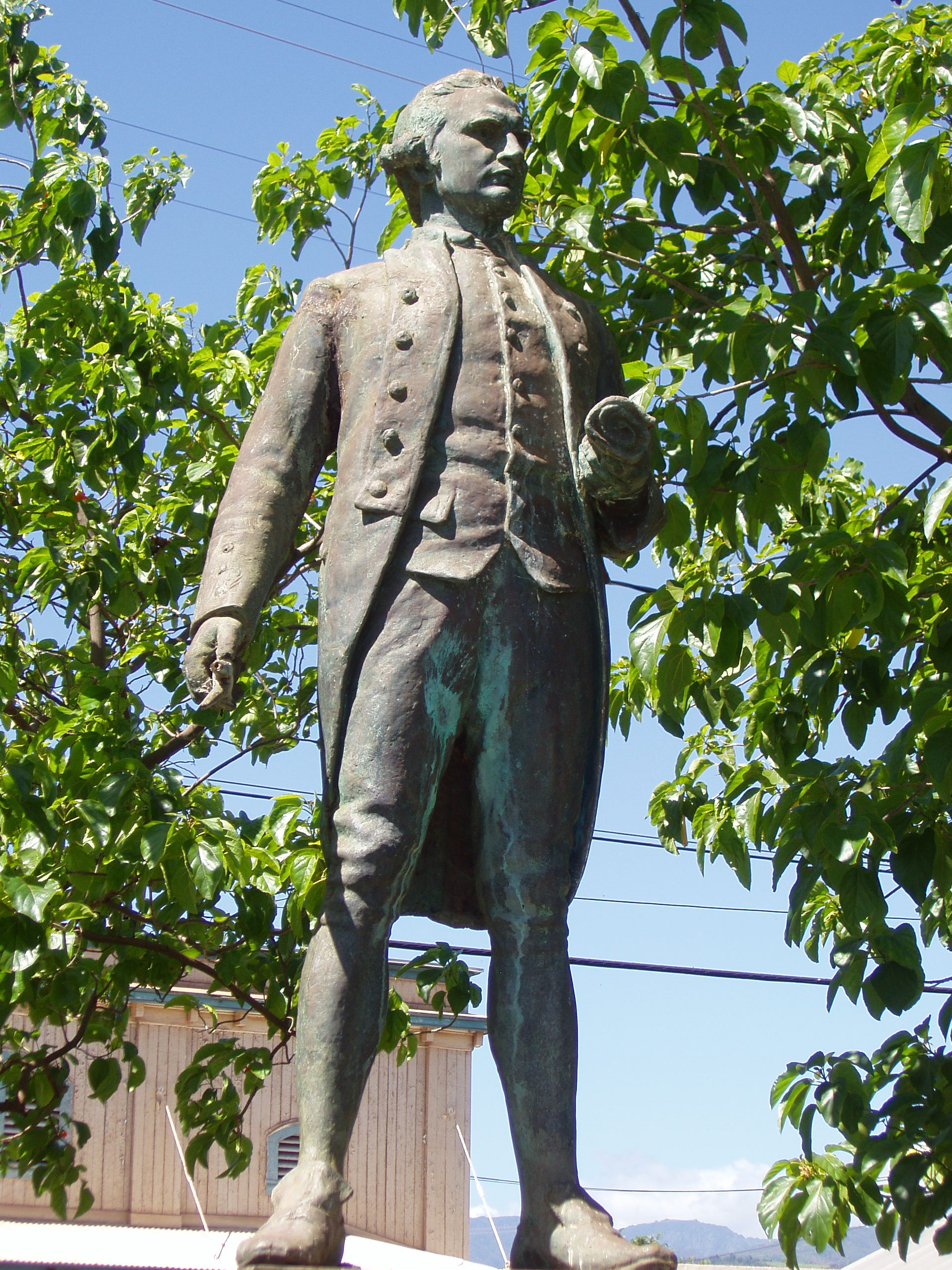 Captain James Cook statue
| ||
| ||
 Location in the state of Hawaii | ||
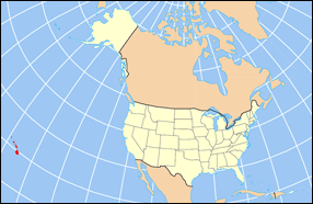 Hawaii's location in the U.S. | ||
| Founded | 1905 | |
|---|---|---|
| Seat | Lihue | |
| Largest city | Kapa‘a | |
| Area - Total - Land - Water |
1,266 sq mi (3,279 km²) 620 sq mi (1,606 km²) 646 sq mi (1,673 km²), 51.0% | |
| Population - (2020) - Density |
73,298 118/sq mi (46/km²) | |
| Congressional district | 2nd | |
| Time zone | Hawaii-Aleutian: UTC-10 | |
| Website | https://www.kauai.gov/ | |
Kauaʻi County (Hawaiian: Kalana o Kauaʻi) (officially known as the County of Kauaʻi) is a county in the U.S. state of Hawaiʻi. It consists of the islands of Kauaʻi, Niʻihau, Lehua, and Kaʻula. As of the 2020 Census the population was 73,298.[1] The county seat is Līhuʻe.[2]
The Kapa'a Micropolitan Statistical Area includes all of Kauai County.
Geography[]
According to the U.S. Census Bureau, the county has a total area of 1,266 square miles (3,280 km2), of which 620 square miles (1,600 km2) is land and 646 square miles (1,670 km2) (51.0%) is water.[3] The Pacific Ocean surrounds the county.
Adjacent entities[]
- Honolulu County, Hawaii - southeast
- Midway Atoll - northwest
National protected areas[]
- Hanalei National Wildlife Refuge
- Huleia National Wildlife Refuge
- Kilauea Point National Wildlife Refuge
Government and politics[]
Kauaʻi County has a mayor-council form of municipal government. Executive authority is vested in the Mayor of Kauaʻi, elected by the voters on a nonpartisan basis to a four-year term. Legislative authority is vested in the seven-member County Council. All members of the County Council are elected on a nonpartisan, at-large basis to two-year terms.
United States Congress[]
Kauai County, like the rest of Hawaii, is represented entirely by Democrats in both the United States Senate and the United States House of Representatives.
| Senators | Name | Party | First Elected | Level | |
|---|---|---|---|---|---|
| Senate Class 1 | Mazie Hirono | Democratic | 2013 | Junior Senator | |
| Senate Class 3 | Brian Schatz | Democratic | 2012 | Senior Senator | |
| Representatives | Name | Party | First Elected | Area(s) of Kauai County Represented | |
| District 2 | Kai Kahele | Democratic | 2021 | entire county | |
Hawaii Legislature[]
Hawaii Senate[]
| District | Name | Party | First Elected | Area(s) of Kauaʻi County Represented | |
|---|---|---|---|---|---|
| 8 | Ron Kouchi | Democratic | 2010 | entire county | |
Hawaii House of Representatives[]
| District | Name | Party | First Elected | Area(s) of Kauaʻi County Represented | |
|---|---|---|---|---|---|
| 14 | Nadine Nakamura | Democratic | 2016 | Hanalei, Princeville, Kīlauea, Anahola, Kapa'a, Wailua | |
| 15 | James Tokioka | Democratic | 2007 | Wailuā Homesteads, Hanamā'ulu, Līhu'e, Puhi, Kōloa, 'Ōma'o | |
| 16 | Dee Morikawa | Democratic | 2011 | Niʻihau, Lehua, Kōloa, Waimea | |
Elections[]
Federal[]
Kauai County has traditionally been a solid Democratic stronghold. The county has not voted Republican since the 1984 federal election, when it narrowly voted in favor of Ronald Reagan.
| Year | Republican | Democratic | Third party | |||
|---|---|---|---|---|---|---|
| No. | % | No. | % | No. | % | |
| 2020 | 11,582 | 34.58% | 21,225 | 63.36% | 690 | 2.06% |
| 2016 | 7,574 | 28.76% | 16,456 | 62.49% | 2,305 | 8.75% |
| 2012 | 6,121 | 24.13% | 18,641 | 73.47% | 610 | 2.40% |
| 2008 | 6,245 | 22.94% | 20,416 | 74.99% | 563 | 2.07% |
| 2004 | 9,740 | 39.15% | 14,916 | 59.96% | 220 | 0.88% |
| 2000 | 6,583 | 30.23% | 13,470 | 61.87% | 1,720 | 7.90% |
| 1996 | 5,325 | 25.33% | 13,357 | 63.54% | 2,338 | 11.12% |
| 1992 | 6,274 | 32.80% | 10,715 | 56.02% | 2,138 | 11.18% |
| 1988 | 8,298 | 40.95% | 11,770 | 58.08% | 198 | 0.98% |
| 1984 | 9,249 | 50.45% | 8,862 | 48.34% | 221 | 1.21% |
| 1980 | 5,883 | 35.39% | 9,081 | 54.64% | 1,657 | 9.97% |
| 1976 | 6,278 | 43.23% | 8,105 | 55.81% | 139 | 0.96% |
| 1972 | 7,571 | 58.36% | 5,401 | 41.64% | 0 | 0.00% |
| 1968 | 4,140 | 36.49% | 7,051 | 62.15% | 155 | 1.37% |
| 1964 | 1,971 | 18.45% | 8,713 | 81.55% | 0 | 0.00% |
| 1960 | 5,655 | 54.95% | 4,636 | 45.05% | 0 | 0.00% |
Demographics[]
| Historical populations | |||
|---|---|---|---|
| Census | Pop. | %± | |
| 1900 | 20,734 | ||
| 1910 | 23,952 | 15.5% | |
| 1920 | 29,438 | 22.9% | |
| 1930 | 35,942 | 22.1% | |
| 1940 | 35,818 | −0.3% | |
| 1950 | 29,905 | −16.5% | |
| 1960 | 28,176 | −5.8% | |
| 1970 | 29,761 | 5.6% | |
| 1980 | 39,082 | 31.3% | |
| 1990 | 51,177 | 30.9% | |
| 2000 | 58,463 | 14.2% | |
| 2010 | 67,091 | 14.8% | |
| U.S. Decennial Census[5] 1790-1960[6] 1900-1990[7] 1990-2000[8] 2010-2020[1] | |||
At the 2000 census there were 58,463 people, 20,183 households, and 14,572 families in the county. The population density was 94 people per square mile (36/km2). There were 25,331 housing units at an average density of 41 per square mile (16/km2). The racial makeup of the county was 36.0% Asian, 29.5% White, 23.8% from two or more races, 9.1% Pacific Islander, 0.3% Black or African American, 0.4% Native American and 0.9% from other races. 8.2%.[9] were Hispanic or Latino of any race.
Of the 20,183 households 34.0% had children under the age of 18 living with them, 53.9% were married couples living together, 12.8% had a female householder with no husband present, and 27.8% were non-families. 21.4% of households were one person and 7.7% were one person aged 65 or older. The average household size was 2.87 and the average family size was 3.34.
The age distribution was 26.4% under the age of 18, 7.1% from 18 to 24, 27.2% from 25 to 44, 25.5% from 45 to 64, and 13.8% 65 or older. The median age was 38 years. For every 100 females there were 100.10 males. For every 100 females age 18 and over, there were 97.50 males.
Economy[]
Top employers[]
According to the county's 2019 Comprehensive Annual Financial Report,[10] the top non-government employers in the county are:
| # | Employer | # of Employees |
|---|---|---|
| 1 | Grand Hyatt Kauai Resort and Spa | 927 |
| 2 | Wilcox Memorial Hospital | 917 |
| 3 | The St. Regis Princeville Resort (Now closed for remodel and rebranding)[11] | 500 |
| 4 | Ohana Pacific Management Co. | 382 |
| 5 | Kauai Veterans Memorial Hospital | 289 |
| 6 | Aqua-Aston Hospitality | 287 |
| 7 | Kauai Beach Resort | 240 |
| 8 | Sheraton Kauai Resort | 236 |
| 9 | Koa Kea Hotel & Resort | 170 |
| 10 | Pioneer Hi Bred International | 165 |
Education[]
Higher education[]
Kauai Community College is the county's only institution of higher education. One of the ten branches of the University of Hawaiʻi system, it offers a range of 2-year degrees and is accredited by the Western Association of Schools and Colleges.
Primary and Secondary Education[]
Public schools in the county are operated by the Hawaiʻi Department of Education, and the county is represented by Maggie Cox on the state's Board of Education. There are 13 elementary schools, 3 middle schools, 3 high schools, and a K-12 school in the county.
High schools[]
- Kapa'a High School
- Kauaʻi High School
- Waimea High School
Middle schools[]
- Kamakahelei Middle School
- Kapa'a Middle School
- Waimea Canyon Middle School
Elementary schools[]
- Eleele Elementary School
- Hanalei Elementary School
- Kalaheo Elementary School
- Kanuikapono PCS
- Kapa'a Elementary
- Kaumualii Elementary School
- Kawaikini NCPS
- Ke Kula Niʻihau Kekaha PCS
- Kekaha Elementary School
- Kilauea Elementary School
- Kōloa Elementary School
- Kula Aupuni Niʻihau A Kahelelani Aloha
- Wilcox Elementary School
K-12 School[]
- Ni'ihau High & Elementary
Private schools[]
There are two private schools in the county: Island School, and the Kahili Adventist School. Four private schools, including St. Catherine's School and St. Theresa's Elementary School (Catholic schools) and the Charter Schools on the island...
Infrastructure[]
Transportation[]
Lihue Airport serves the island of Kauai. Bus service is provided by The Kauai Bus.
- Major Highways
- [[Template:Infobox road/HI/link HI|Template:Infobox road/HI/abbrev HI]]
- [[Template:Infobox road/HI/link HI|Template:Infobox road/HI/abbrev HI]]
- [[Template:Infobox road/HI/link HI|Template:Infobox road/HI/abbrev HI]]
- [[Template:Infobox road/HI/link HI|Template:Infobox road/HI/abbrev HI]]
- [[Template:Infobox road/HI/link HI|Template:Infobox road/HI/abbrev HI]]
- [[Template:Infobox road/HI/link HI|Template:Infobox road/HI/abbrev HI]]
- [[Template:Infobox road/HI/link HI|Template:Infobox road/HI/abbrev HI]]
- [[Template:Infobox road/HI/link HI|Template:Infobox road/HI/abbrev HI]]
- [[Template:Infobox road/HI/link HI|Template:Infobox road/HI/abbrev HI]]
- [[Template:Infobox road/HI/link HI|Template:Infobox road/HI/abbrev HI]]
- [[Template:Infobox road/HI/link HI|Template:Infobox road/HI/abbrev HI]]
Communities[]
There are no incorporated communities in Kauai County, or in any other county of Hawaii. The county is the only form of local government in the State of Hawaii.
Census-designated places[]
Other unincorporated places[]
- Puuwai
- Kealia
Sister cities[]
Kauai County's sister cities are:[12]
References[]
- ^ a b "U.S. Census Bureau QuickFacts: Kauai County, Hawaii". United States Census Bureau. https://www.census.gov/quickfacts/fact/dashboard/kauaicountyhawaii/POP010220.
- ^ "Find a County". National Association of Counties. http://www.naco.org/Counties/Pages/FindACounty.aspx.
- ^ "US Gazetteer files: 2010, 2000, and 1990". United States Census Bureau. 2011-02-12. https://www.census.gov/geographies/reference-files/time-series/geo/gazetteer-files.html.
- ^ Leip, David. "Dave Leip's Atlas of U.S. Presidential Elections". http://uselectionatlas.org/RESULTS/.
- ^ "U.S. Decennial Census". United States Census Bureau. https://www.census.gov/programs-surveys/decennial-census.html.
- ^ "Historical Census Browser". University of Virginia Library. http://mapserver.lib.virginia.edu.
- ^ "Population of Counties by Decennial Census: 1900 to 1990". United States Census Bureau. https://www.census.gov/population/cencounts/hi190090.txt.
- ^ "Census 2000 PHC-T-4. Ranking Tables for Counties: 1990 and 2000". United States Census Bureau. https://www.census.gov/population/www/cen2000/briefs/phc-t4/tables/tab02.pdf.
- ^ "U.S. Census website". United States Census Bureau. https://www.census.gov.
- ^ County of Kauai CAFR
- ^ "16-month closure planned for Princeville Resort". February 24, 2020. https://www.thegardenisland.com/2020/02/24/hawaii-news/16-month-closure-planned-for-princeville-resort/.
- ^ "Sister City program worth continuing". The Garden Island. 2019-10-06. https://www.thegardenisland.com/2019/10/06/opinion/sister-city-program-worth-continuing/.
- ^ a b "Kauai mayor visits Japan keeping communities together, worlds apart". KITV Island News. 2015-11-22. https://www.kitv.com/story/30580277/kauai-mayor-visits-japan-keeping-communities-together-worlds-apart.
- ^ "Tahiti sister-city students come to call". The Garden Island. 2018-05-18. https://www.thegardenisland.com/2018/05/18/hawaii-news/tahiti-sister-city-students-come-to-call/.
- ^ "Music strengthens sister city bond with Whitby". The Garden Island. 2013-02-12. https://www.thegardenisland.com/2013/02/02/hawaii-news/music-strengthens-sister-city-bond-with-whitby/.
| ||||||||||||||

| |||||||||||||||||||||||
|
| This page uses content from the English language Wikipedia. The original content was at Kauai County, Hawaii. The list of authors can be seen in the page history. As with this Familypedia wiki, the content of Wikipedia is available under the Creative Commons License. |