The area fell to Prussia in 1815, which in 1816 created the three districts Heinsberg, Erkelenz and Geilenkirchen. In 1932 the districts Heinsberg and Geilenkirchen were merged, and in 1972 the Erkelenz district was merged as well. In 1975 the district got its present size when the municipality Niederkrüchten was moved to the district Viersen.
Geography[]
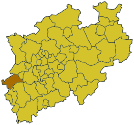
Geographically it covers the lowlands of the Niederrheinische Bucht.
Rivers[]
Rur is the main river.
Wurm
Schwalm
Niers
Coat of arms[]
The coat of arms show two lions in the top part, in the left the silver lion of the city and the dukes of Heinsberg, in the right the black lion on yellow ground of the duchy of Jülich. The bottom part derives from the coat of arms of the former district Erkelenz, the fleur-de-lis from the city of Erkelenz represent the Maria-abbey in Aachen, and the blue flax flower in the middle remembers the old tradition of flax and linen trading in Erkelenz.
This page uses content from the English language Wikipedia. The original content was at Heinsberg District. The list of authors can be seen in the page history. As with this Familypedia wiki, the content of Wikipedia is available under the Creative Commons License.

 Media related to Kreis Heinsberg at Wikimedia Commons