 Common name: Greater San Antonio | |
| Largest city | San Antonio |
| Other cities | – New Braunfels |
| Population | Ranked 24th in the U.S. |
| - Total | 2,194,927 (2011) |
| Area | 7,387 sq. mi. 19,130 km² |
| State(s) | Texas |
| Elevation | |
| - Highest point | N/A feet (N/A m) |
| - Lowest point | N/A feet (N/A m) |
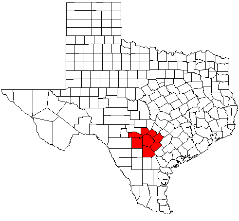
San Antonio–New Braunfels is an eight-county metropolitan area in the U.S. state of Texas defined by the Office of Management and Budget (OMB). Colloquially referred to as Greater San Antonio, the metropolitan area is situated in the American Southwest, in South-Central Texas, and on the southwestern corner of the Texas Triangle. The official 2011 U.S. Census estimate [1] showed the metropolitan area's population at 2,194,927—up from a reported 1,711,103 in 2000—making it the 24th largest metropolitan area in the United States.[2] Greater San Antonio borders Austin–Round Rock to the northeast.
San Antonio–New Braunfels is the third-largest metro area in Texas, after Dallas–Fort Worth–Arlington and Houston–The Woodlands–Sugar Land. It is also the second-fastest growing large metropolitan area in the state (over 1 million population), after Austin–Round Rock and just ahead of Houston–The Woodlands–Sugar Land.[3]
Counties[]
There are eight counties that combine to form Greater San Antonio. The central county is Bexar.
| Census Area | Estimated population as of July 1, 2012 | 2010 Census | 2000 Census | 1990 Census |
|---|---|---|---|---|
| San Antonio–New Braunfels Metropolitan Statistical Area | 2,234,003 | 2,142,508 | 1,711,703 | 1,407,745 |
| Atascosa | 46,446 | 44,911 | 38,628 | 30,533 |
| Bandera | 20,537 | 20,485 | 17,645 | 10,562 |
| Bexar | 1,785,704 | 1,714,773 | 1,392,931 | 1,185,394 |
| Comal | 114,384 | 108,472 | 78,021 | 51,832 |
| Guadalupe | 139,841 | 131,533 | 89,023 | 64,873 |
| Kendall | 35,956 | 33,410 | 23,743 | 14,589 |
| Medina | 46,765 | 46,006 | 39,204 | 27,312 |
| Wilson | 44,370 | 42,918 | 32,408 | 22,650 |
The MSA covers a total of 7,387 sq. mi. 7,340 sq. mi. is land and 47 sq. mi. is water.
Communities[]

Downtown San Antonio is the urban core of the metropolitan area.
New Braunfels is the second largest city in the metropolitan area and is a satellite of San Antonio.
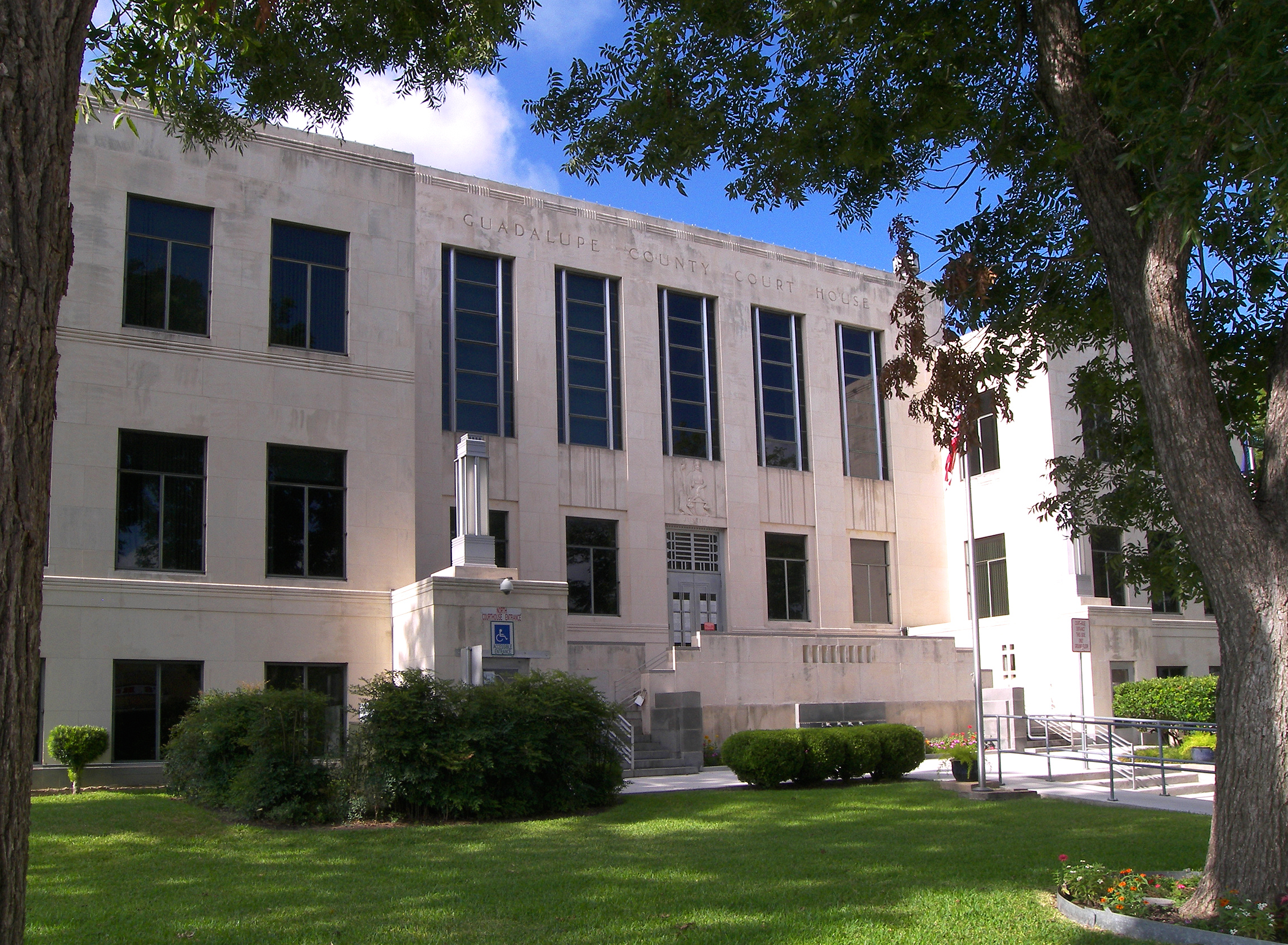
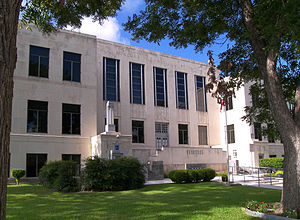
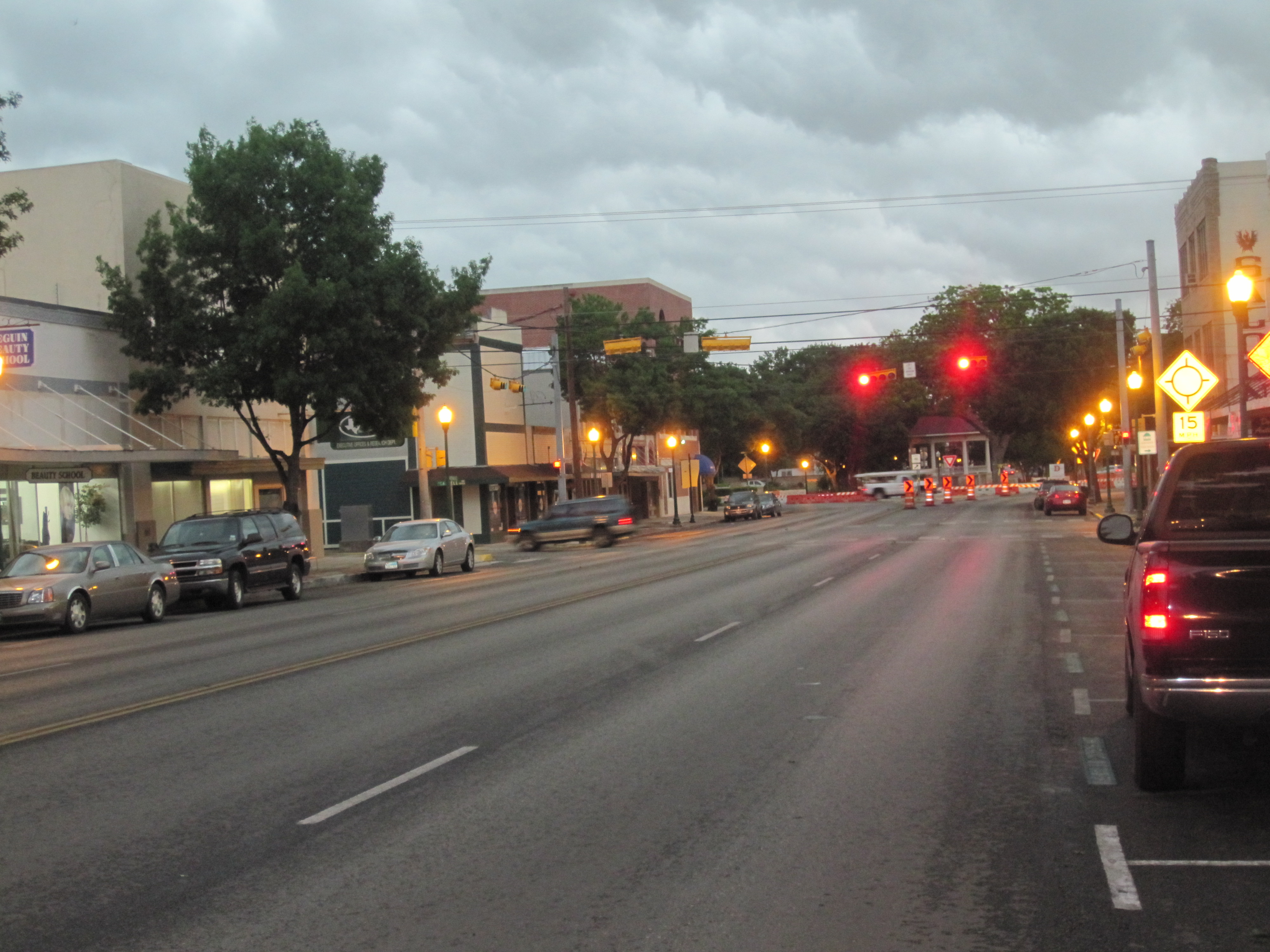
Seguin is the fourth largest city in the metropolitan area and is a satellite of San Antonio.


Alamo Heights is an inner-ring suburb of San Antonio. Together with Olmos Park and Terrell Hills, Alamo Heights is a relatively short distance from Fort Sam Houston and Uptown, Midtown, and Downtown San Antonio.
Places with more than 1,000,000 people[]
- San Antonio (Principal city and central city)
Places with 50,000 to 100,000 people[]
- New Braunfels (Principal city)
Places with 25,000 to 50,000 people[]
- Schertz
- Seguin
Places with 10,000 to 25,000 people[]
- Boerne
- Canyon Lake
- Cibolo
- Converse
- Leon Valley
- Live Oak
- Timberwood Park
- Universal City
Places with 5,000 to 10,000 people[]
- Alamo Heights
- Bulverde
- Fair Oaks Ranch
- Floresville
- Helotes
- Hondo
- Kirby
- Lackland AFB
- Lakehills
- Pleasanton
- Selma
- Terrell Hills
- Windcrest
Places with 1,000 to 5,000 people[]
- Balcones Heights
- Castle Hills
- Castroville
- Charlotte
- China Grove
- Comfort
- Cross Mountain
- Devine
- Elmendorf
- Garden Ridge
- Hill Country Village
- Hollywood Park
- Jourdanton
- LaCoste
- La Vernia
- Lytle
- Marion
- McQueeney
- Medina
- Natalia
- Nixon (partial)
- Northcliff (former)
- Olmos Park
- Poteet
- Poth
- Randolph AFB
- Redwood
- Scenic Oaks
- Shavano Park
- Somerset
- St. Hedwig
- Stockdale
- Von Ormy
Places with fewer than 1,000 people[]
- Bandera
- Christine
- Geronimo
- Grey Forest
- Kingsbury
- New Berlin
- Santa Clara
- Staples
- Zuehl
Unincorporated places[]
- Adkins
- Amphion
- Atascosa
- Bandera Falls
- Carpenter
- D'Hanis
- Dunlay
- Fischer
- Kicaster
- Leming
- Leon Springs
- Losoya
- Macdona
- Mico
- Pearson
- Pandora
- Pipe Creek
- Rio Medina
- Saspamco
- Sayers
- Spring Branch
- Sutherland Springs
- Tarpley
- Vanderpool
- Waring
- Yancey
Economy[]
San Antonio–New Braunfels is home to six Fortune 1000 companies. Valero Energy Corp, Tesoro Petroleum Corp, Clear Channel Communications, USAA, and NuStar Energy are located in San Antonio. Rush Enterprises is located in New Braunfels.
Transportation[]

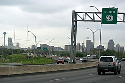
Downtown San Antonio from U.S. 281 southbound.
The San Antonio International Airport (SAT) is located in Uptown San Antonio, approximately eight miles north of Downtown. It has two terminals and is served by 21 airlines serving 44 destinations including six in Mexico.
VIA Metropolitan Transit is the metropolitan area's public transportation authority, serving the entire City of San Antonio and many of its suburbs throughout Bexar County.
San Antonio Station serves as the area's Amtrak train station.
Interstate Highways
 Interstate 10- West to El Paso, east to Houston
- Interstate 35- North to Austin and the Dallas/Fort Worth area, south to Laredo
- Interstate 37- South to Corpus Christi
- Interstate 410- Inner loop around San Antonio, also passes through the following municipalities: Castle Hills, Balcones Heights, and Leon Valley
Other major highways
- U.S. Highway 87- South to Victoria, north to San Angelo
- U.S. Highway 90- West to Uvalde
- U.S. Highway 181- South to Beeville
- U.S. Highway 281- North to Wichita Falls, south to McAllen
- Loop 1604- Outer loop around San Antonio
Education[]
The City of San Antonio is home to many public institutions. The San Antonio area's largest university is the University of Texas at San Antonio (UTSA). Other public institutions include the University of Texas Health Science Center at San Antonio, Texas A&M University–San Antonio, and the five colleges of the Alamo Community College District.
The city has many private institutions as well, such as Our Lady of the Lake University and St. Mary's University on the inner west side. Trinity University and the University of the Incarnate Word are in Midtown. The Culinary Institute of America maintains its third campus in Downtown.
Texas Lutheran University in Seguin and Howard Payne University at New Braunfels, now offering classes at a local high school but will soon have a true campus in the Veramendi Development, are the only higher education institutions in the area outside of San Antonio city limits.
The San Antonio area has many public elementary and secondary schools sorted into the following independent school districts:
| County | Independent School Districts (ISDs) |
|---|---|
| Atascosa | Charlotte, Jourdanton, Karnes City, Lytle, Pleasanton, Poteet, Somerset |
| Bandera | Bandera, Medina, Northside, Utopia |
| Bexar County/City of San Antonio | Alamo Heights, Boerne, Comal, East Central, Edgewood, Fort Sam Houston, Harlandale, Judson, Lackland, Medina Valley, North East, Northside, Randolph Field, San Antonio, Schertz-Cibolo-Universal City, South San Antonio, Southside, Southwest, Somerset |
| Comal | New Braunfels, Comal |
| Guadalupe | Seguin, Navarro, Comal, New Braunfels, Schertz-Cibolo-Universal City, Marion |
| Kendall | Boerne, Comfort, Blanco, Comal |
| Medina | Devine, Hondo, Medina Valley, Natalia, Lytle |
| Wilson | Floresville, La Vernia, Stockdale, Nixon-Smiley Consolidated, Poth |
Demographics[]
As of the census[1] of 2000, there were 1,711,703 people, 601,265 households, and 432,131 families residing within the MSA. The racial makeup of the MSA was 71.4% White, 6.2% African American, 0.8% Native American, 1.4% Asian, 0.1% Pacific Islander, 16.6% from other races, and 3.4% from two or more races. Hispanic or Latino of any race were 50.4% of the population.
The median income for a household in the MSA was $40,764 and the median income for a family was $46,686. Males had a median income of $32,143 versus $24,007 for females. The per capita income for the MSA was $18,713.
See also[]
- List of cities in Texas
- Texas census statistical areas
- List of Texas metropolitan areas
- Texas Triangle
References[]
- ^ a b "American FactFinder". United States Census Bureau. http://factfinder.census.gov. Retrieved 2008-01-31.
- ^ "Table 1. Annual Estimates of the Population of Metropolitan and Micropolitan Statistical Areas: April 1, 2000 to July 1, 2009 (CBSA-EST2009-01)" (CSV). 2009 Population Estimates. United States Census Bureau, Population Division. 2010-03-23. http://www.census.gov/popest/metro/tables/2009/CBSA-EST2009-01.csv. Retrieved 2010-03-29.
- ^ List of US Metropolitan Statistical Areas
Template:Greater San Antonio

| ||||||||||||||
| This page uses content from the English language Wikipedia. The original content was at Greater San Antonio. The list of authors can be seen in the page history. As with this Familypedia wiki, the content of Wikipedia is available under the Creative Commons License. |