| Main | Births etc |
|---|
| Gemerská Panica | |
|---|---|
| — Village — | |
 |
|
 |
|

Gemerská Panica |
|

Gemerská Panica |
|
| Coordinates: | |
| Country | |
| Region | Košice |
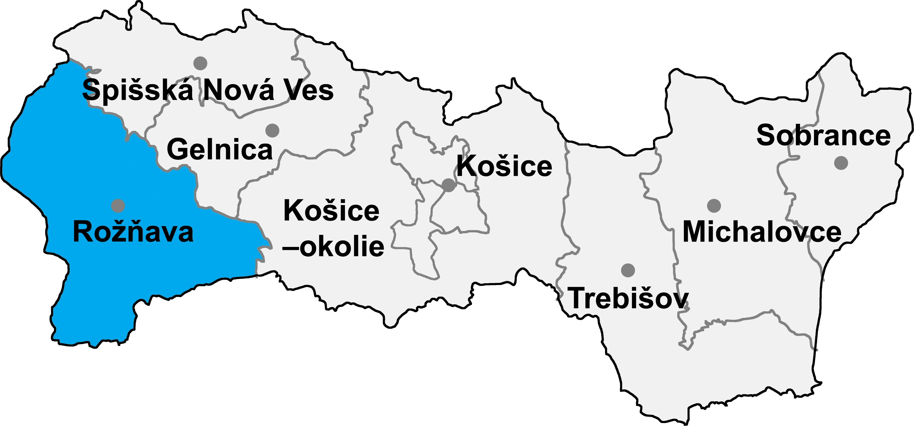
| Districts of Slovakia | Rožňava |
| First mentioned | 1247 |
| Government | |
| • Mayor | Milan Majoroš |
| Area | |
| • Total | 14.92 km2 (5.76 sq mi) |
| Elevation | 191 m (627 ft) |
| Population (31/12/2013) | |
| • Total | 652 |
| • Density | 43.7/km2 (113/sq mi) |
| Time zone | CET (UTC+1) |
| • Summer (DST) | CEST (UTC+2) |
| Postal code | 980 46 |
| Area code | +514-748 |
| Vehicle registration | RV |
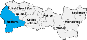
Location of Rožňava District in the Košice Region
Gemerská Panica (Hungarian: Gömörpanyit) is a village and municipality in the Rožňava District in the Košice Region of middle-eastern Slovakia.
Geography[]
The village lies at an altitude of 194 metres and covers an area of 14.920 km². It has a population of about 700 people.
Culture[]
The village has a public library and a football pitch.
Genealogical resources[]
The records for genealogical research are available at the state archive "Statny Archiv in Banska Bystrica, Slovakia"
- Roman Catholic church records (births/marriages/deaths): 1852-1896 (parish B)
- Lutheran church records (births/marriages/deaths): 1805-1908 (parish A)
- Reformated church records (births/marriages/deaths): 1792-1904 (parish B)
See also[]
External links[]
- http://www.statistics.sk/mosmis/eng/run.html
- http://www.gemerskapanica.ou.sk/
- http://www.gemerskapanica.gemer.org/
- Surnames of living people in Gemerska Panica
| |||||||
| This page uses content from the English language Wikipedia. The original content was at Gemerská Panica. The list of authors can be seen in the page history. As with this Familypedia wiki, the content of Wikipedia is available under the Creative Commons License. |