Familypedia
Advertisement
Main Births etc
Komárom-Esztergom County
Komárom-Esztergom departemento blazono
Coat of arms
KEMegye
Country Hungary
Region Central Transdanubia
County seat Tatabánya
Area
 • Total 2,265 km2 (875 sq mi)
Population
 • Total 319,000
 • Density 140/km2 (360/sq mi)

Komárom-Esztergom is an administrative Hungarian county in Central Transdanubia Region, on the northern border with Slovakia. It shares borders with the Hungarian counties of Győr-Moson-Sopron, Veszprém, Fejér and Pest. The capital (or county seat) of Komárom-Esztergom County is Tatabánya.

History[]

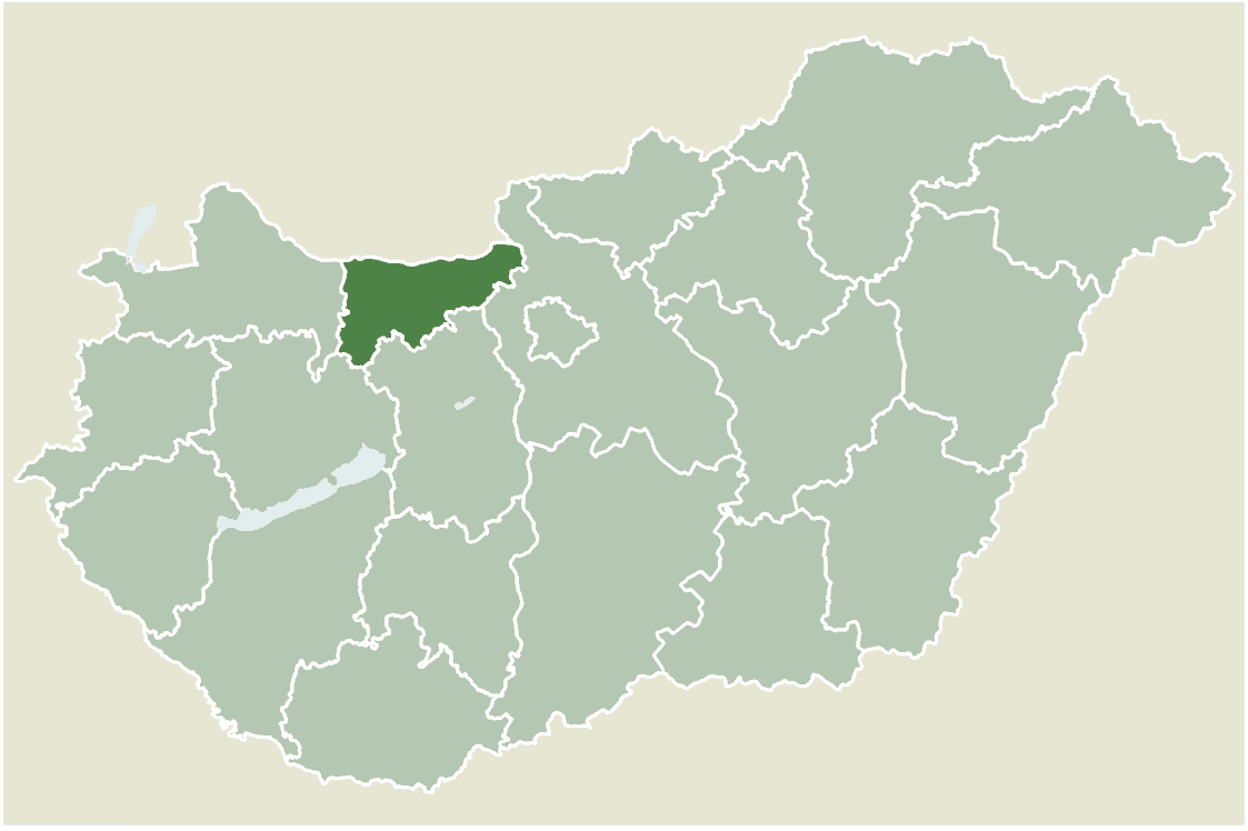
After World War I and the break-up of empires, the Soviet Hungarian Republic came to power in 1919, followed quickly by the Kingdom of Hungary. Komárom-Esztergom was created from the ethnic Hungarian parts of the pre-1918 counties Komárom and Esztergom, formerly part of the Austro-Hungarian Empire.

The pre-1918 situation was temporarily restored during World War II. Between World War II and about 1990, during the Communist regime, the county was called Komárom. Since the establishment of Hungary, it was named Komárom-Esztergom to refer to its historic past.

Regional structure[]

The county is ranked second in terms of population density among counties in Hungary: 66% of people live in towns.

Towns[]

As of January 1, 2009[1]

Megyeszékhely - Komárom-Esztergom megye - Esztergom

Aerial photography: Esztergom

Villages[]

  • Bokod
  • Császár
  • Csatka
  • Csém
  • Csép
  • Csolnok
  • Dad
  • Dág
  • Dömös
  • Dunaalmás
  • Dunaszentmiklós
  • Epöl
  • Ete

  • Gyermely
  • Héreg
  • Kecskéd
  • Kerékteleki
  • Kesztölc
  • Kisigmánd
  • Kocs
  • Kömlőd
  • Környe
  • Leányvár
  • Máriahalom
  • Mocsa
  • Mogyorósbánya

  • Nagyigmánd
  • Nagysáp
  • Naszály
  • Neszmély
  • Piliscsév
  • Pilismarót
  • Réde
  • Sárisáp
  • Süttő
  • Súr
  • Szákszend
  • Szárliget
  • Szomód

  • Szomor
  • Tardos
  • Tarján
  • Tárkány
  • Tokod
  • Tokodaltáró
  • Úny
  • Várgesztes
  • Vérteskethely
  • Vértessomló
  • Vértesszőlős
  • Vértestolna

References[]

Coordinates: 47°35′N 18°20′E / 47.583, 18.333


This page uses content from the English language Wikipedia. The original content was at Komárom-Esztergom County. The list of authors can be seen in the page history. As with this Familypedia wiki, the content of Wikipedia is available under the Creative Commons License.
Advertisement