| Main | Births etc |
|---|
| Manila, Utah | |
|---|---|
| — Town — | |
 |
|
 |
|
| Coordinates: Coordinates: | |
| Country | United States |
| State | Utah |
| County | Daggett |
| Founded | 1898 |
| Incorporated | 1936 |
| Named for | Manila |
| Area | |
| • Total | 0.8 sq mi (2.1 km2) |
| • Land | 0.8 sq mi (2.1 km2) |
| • Water | 0.0 sq mi (0.0 km2) |
| Elevation[1] | 6,348 ft (1,935 m) |
| Population (2012) | |
| • Total | 313 |
| • Density | 379.3/sq mi (146.5/km2) |
| Time zone | Mountain (MST) (UTC-7) |
| • Summer (DST) | MDT (UTC-6) |
| ZIP code | 84046 |
| Area code(s) | 435 |
| FIPS code | 49-47620[2] |
| GNIS feature ID | 1443126[1] |
Manila is a small town located on the northern edge of Daggett County, Utah, just south of the Wyoming border. The town is at the junction of State Route 43 and State Route 44, and is the county seat of Daggett County.[3] Nearby sites include the Flaming Gorge National Recreation Area and the Flaming Gorge Reservoir just east of town, and to the south is Ashley National Forest, which includes Kings Peak (13,528 ft), the highest point in Utah. The population was 308 at the 2000 census. The settlement was named Manila in 1898, commemorating American naval victory at the Battle of Manila Bay[4] in the Philippine Islands.
Demographics[]
| Historical populations | |||
|---|---|---|---|
| Census | Pop. | %± | |
| 1910 | 196 | ||
| 1920 | 212 | 8.2% | |
| 1930 | 256 | 20.8% | |
| 1950 | 147 | ||
| 1960 | 329 | 123.8% | |
| 1970 | 226 | −31.3% | |
| 1980 | 272 | 20.4% | |
| 1990 | 207 | −23.9% | |
| 2000 | 308 | 48.8% | |
| 2010 | 310 | 0.6% | |
| Est. 2012 | 313 | 1.6% | |
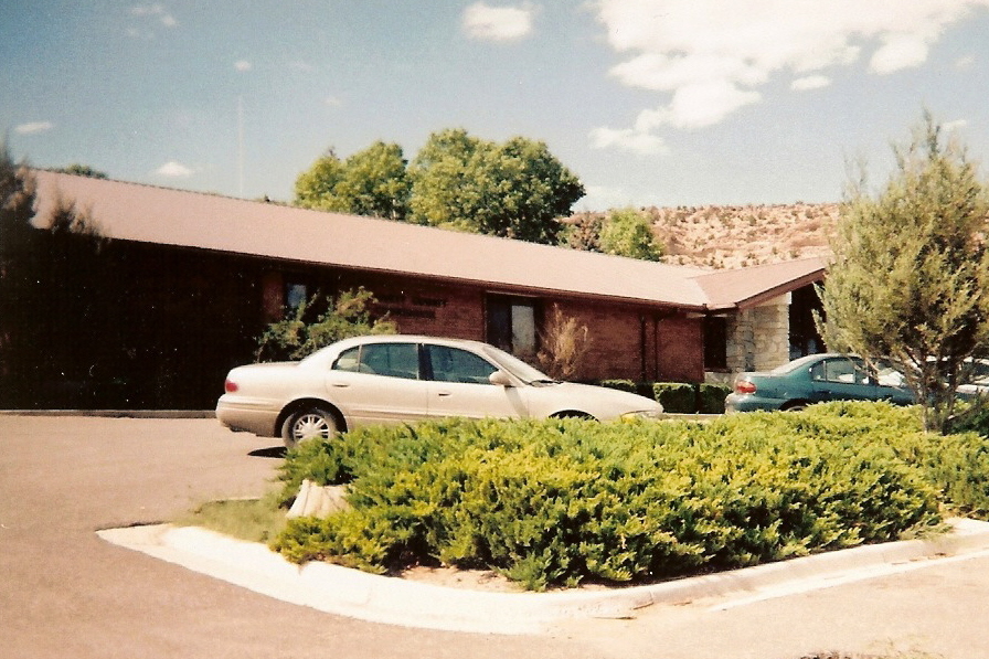
Daggett County courthouse in Manila


Flaming Gorge National Recreation Area south of Manila
As of the census[2] of 2000, there were 308 people, 105 households, and 66 families residing in the town. The population density was 379.3 people per square mile (146.8/km²). There were 401 housing units at an average density of 493.9 per square mile (191.1/km²). The racial makeup of the town was 91.56% White, 1.95% African American, 0.97% Native American, 4.55% from other races, and 0.97% from two or more races. Hispanic or Latino of any race were 9.09% of the population.
There were 105 households out of which 21.0% had children under the age of 18 living with them, 51.4% were married couples living together, 6.7% had a female householder with no husband present, and 37.1% were non-families. 34.3% of all households were made up of individuals and 11.4% had someone living alone who was 65 years of age or older. The average household size was 2.20 and the average family size was 2.83.
In the town the population was spread out with 15.9% under the age of 18, 11.7% from 18 to 24, 28.9% from 25 to 44, 27.3% from 45 to 64, and 16.2% who were 65 years of age or older. The median age was 40 years. For every 100 females there were 170.2 males. For every 100 females age 18 and over, there were 194.3 males.
The median income for a household in the town was $26,458, and the median income for a family was $28,250. Males had a median income of $23,333 versus $15,833 for females. The per capita income for the town was $12,184. About 5.5% of families and 6.2% of the population were below the poverty line, including 9.3% of those under the age of 18 and 4.2% of those 65 or over.
Geography and climate[]
Manila has five streets which run east to west.
According to the United States Census Bureau, the town has a total area of 0.8 square miles (2.1 km²), all of it land.
| Climate data for Manila, Utah (1981–2010) | |||||||||||||
|---|---|---|---|---|---|---|---|---|---|---|---|---|---|
| Month | Jan | Feb | Mar | Apr | May | Jun | Jul | Aug | Sep | Oct | Nov | Dec | Year |
| Average high °F (°C) | 36.0 (2.2) |
38.1 (3.4) |
47.6 (8.7) |
57.7 (14.3) |
66.5 (19.2) |
76.7 (24.8) |
84.1 (28.9) |
80.8 (27.1) |
72.4 (22.4) |
60.3 (15.7) |
45.7 (7.6) |
35.9 (2.2) |
58.5 (14.7) |
| Average low °F (°C) | 12.6 (−10.8) |
14.1 (−9.9) |
23.2 (−4.9) |
30.1 (−1.1) |
38.1 (3.4) |
45.6 (7.6) |
52.8 (11.6) |
50.8 (10.4) |
42.6 (5.9) |
33.4 (0.8) |
22.8 (−5.1) |
13.7 (−10.2) |
31.6 (−0.2) |
| Precipitation inches (mm) | 0.25 (6.4) |
0.34 (8.6) |
0.72 (18.3) |
0.78 (19.8) |
1.04 (26.4) |
1.05 (26.7) |
0.92 (23.4) |
0.98 (24.9) |
1.07 (27.2) |
0.83 (21.1) |
0.37 (9.4) |
0.34 (8.6) |
8.69 (220.7) |
| Snowfall inches (cm) | 4.0 (10.2) |
6.5 (16.5) |
9.4 (23.9) |
5.9 (15) |
1.8 (4.6) |
0.1 (0.3) |
0.0 (0) |
0.0 (0) |
0.4 (1) |
1.8 (4.6) |
4.1 (10.4) |
5.6 (14.2) |
39.5 (100.3) |
| Source: NOAA[5] | |||||||||||||
References[]
- ^ a b USGS GNIS: Manila
- ^ a b "American FactFinder". United States Census Bureau. http://factfinder.census.gov. Retrieved 2008-01-31.
- ^ "Find a County". National Association of Counties. http://www.naco.org/Counties/Pages/FindACounty.aspx. Retrieved 2011-06-07.
- ^ Van Cott, John W. (1990). Utah Place Names. Salt Lake City: University of Utah Press. p. 243. ISBN 0-87480-345-4.
- ^ "NOWData - NOAA Online Weather Data". National Oceanic and Atmospheric Administration. http://www.nws.noaa.gov/climate/xmacis.php?wfo=gjt. Retrieved May 5, 2013.
External links[]

|
| |||
| Coalville Oakley / Wasatch National Forest Kamas Francis |
Flaming Gorge National Recreation Area | |||
 Manila | ||||
| Wasatch National Forest / Ashley National Forest Independence, Tabiona, Altamont |
Ashley National Forest Roosevelt, Ballard, Vernal |
Dinosaur National Monument |
| |||||||||||||||||

_(7063604715).jpg)
| This page uses content from the English language Wikipedia. The original content was at Manila, Utah. The list of authors can be seen in the page history. As with this Familypedia wiki, the content of Wikipedia is available under the Creative Commons License. |