| Main | Births etc |
|---|
| Elmstead | |
Elmstead | |
| OS grid reference | |
|---|---|
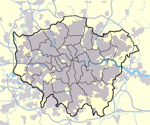
| London borough | Bromley |
| Ceremonial county | Greater London |
| Region | London |
| Country | England |
| Sovereign state | United Kingdom |
| Post town | CHISLEHURST |
| Postcode district | BR7 |
| Dialling code | 020 |
| Police | Metropolitan |
| Fire | London |
| Ambulance | London |
| EU Parliament | London |
| UK Parliament | Bromley & Chislehurst |
| London Assembly | Bexley and Bromley |
| List of places: UK • England • London | |
Elmstead is a residential district in south east London, England within the London Borough of Bromley. It is located north east of Bromley.
History[]
Toponomy[]
The name is recorded in 1320 as Elmsted and means 'place where elm trees grow'. The name was shared with Elmstead Place mansion and the woodland of Elmstead Wood. After the local railway station opened it took the name Elmstead Woods.[1]
Geography[]
Elmstead Wood has public access from Elmstead Lane and other locations.[2] It lies on the Green Chain walk. It is adjacent to Sundridge Park Golf Club.
Elmstead Pit, opposite the railway station, is a geological Site of Special Scientific Interest which has important fossils from the Eocene epoch 50 million years ago.[3][4]
Nearby areas[]
- Sundridge
- Bickley
- Mottingham
- Bromley
- Chislehurst
- Grove Park
Transport[]
Elmstead Woods railway station serves the area with services to London Charing Cross, Orpington and Sevenoaks. Transport for London bus 314 connects the area with Eltham via New Eltham and to New Addington via Bromley and Hayes.
References[]
- ^ Mills, D. (2000). Oxford Dictionary of London Place Names. Oxford.
- ^ Elmstead Wood, Bromley Council
- ^ Elmstead Pit, Natural England citation
- ^ Elmstead Pit, Natural England, Nature on the Map
| |||||||||||||||||||||||||

| This page uses content from the English language Wikipedia. The original content was at Elmstead, London. The list of authors can be seen in the page history. As with this Familypedia wiki, the content of Wikipedia is available under the Creative Commons License. |