| ||||||||||||||
| Dhalai ধলাই জেলা |
|
|---|---|
| — District — | |
 |
|
 |
|
| Coordinates: Coordinates: | |
| State | Tripura |
| Country | India |
| Seat | Ambassa |
| Area | |
| • Total | 2,523 km2 (974 sq mi) |
| Elevation | 84 m (276 ft) |
| Population (2001) | |
| • Total | 307,868 |
| • Density | 120/km2 (320/sq mi) |
| Time zone | IST (UTC+05:30) |
| ISO 3166 code | IN-TR-DH |
| Website | http://dhalai.gov.in/ |
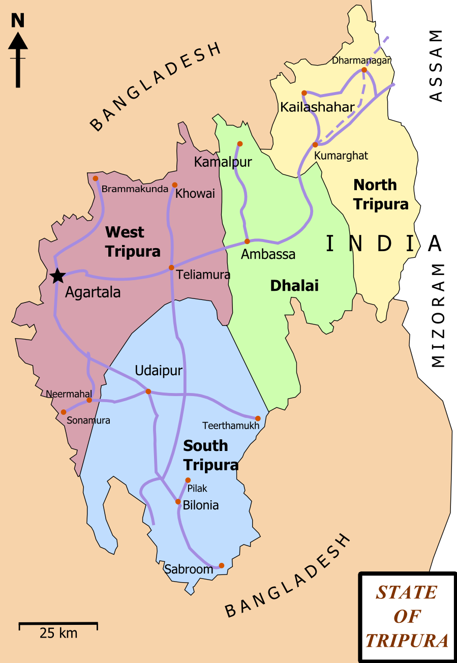
Dhalai (Bengali: ধলাই জেলা) is an administrative district in the state of Tripura in India. The district headquarters are located at Ambassa. As of 2011 it is the least populous district of Tripura (out of 4).[1]
History[]
This district came in to existence in 1995.
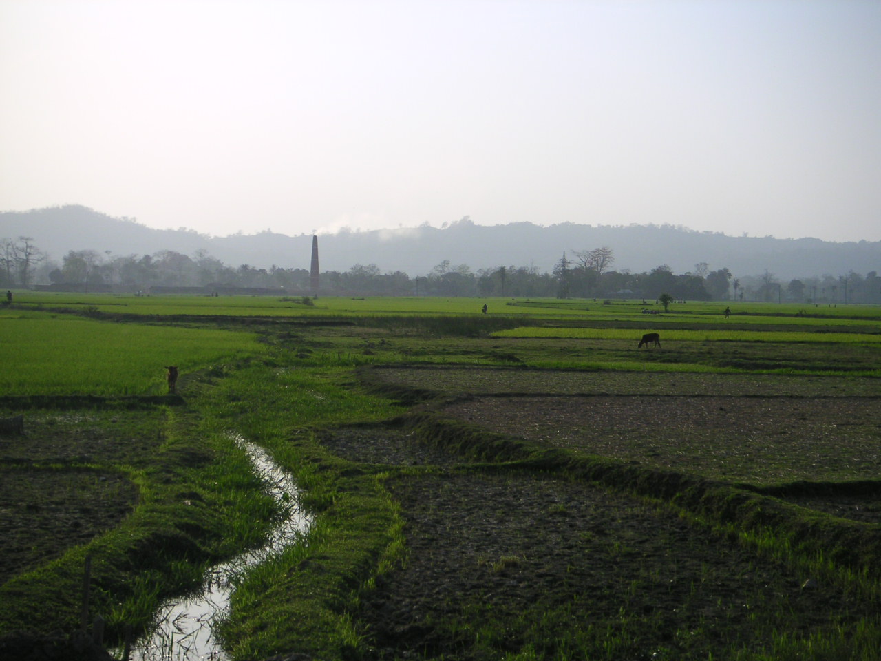
Geography[]
The district occupies an area of 2523 km².
Economy[]
In 2006 the Ministry of Panchayati Raj named Dhalai one of the country's 250 most backward districts (out of a total of 640).[2] It is the only district in Tripura currently receiving funds from the Backward Regions Grant Fund Programme (BRGF).[2]
Divisions[]
Dhalai shares the Lok Sabha constituency of Tripura East (shared with North Tripura and South Tripura districts.
Demographics[]
According to the 2011 census Dhalai district has a population of 377,988 ,[3] roughly equal to the nation of Maldives.[4] This gives it a ranking of 564th in India (out of a total of 640).[3] The district has a population density of 157 inhabitants per square kilometre (410 /sq mi) .[3] Its population growth rate over the decade 2001-2011 was 22.78 %.[3] Dhalai has a sex ratio of 945 females for every 1000 males,[3] and a literacy rate of 86.82 %.[3]
References[]
- ^ "District Census 2011". Census2011.co.in. 2011. http://www.census2011.co.in/district.php. Retrieved 2011-09-30.
- ^ a b Ministry of Panchayati Raj (September 8, 2009). "A Note on the Backward Regions Grant Fund Programme". National Institute of Rural Development. http://www.nird.org.in/brgf/doc/brgf_BackgroundNote.pdf. Retrieved September 27, 2011.
- ^ a b c d e f "District Census 2011". Census2011.co.in. 2011. http://www.census2011.co.in/district.php. Retrieved 2011-09-30.
- ^ US Directorate of Intelligence. "Country Comparison:Population". https://www.cia.gov/library/publications/the-world-factbook/rankorder/2119rank.html. Retrieved 2011-10-01. "Maldives 394,999 July 2011 est."
External links[]

|
Bangladesh |
| ||
| West Tripura | North Tripura | |||
 Dhalai district | ||||
| South Tripura | Bangladesh |
| Districts of Tripura |
|---|
| Dhalai district | North Tripura district | South Tripura district | West Tripura district |
| This article related to a location in the Indian state of Tripura is a stub. You can help by expanding it. |
| This page uses content from the English language Wikipedia. The original content was at Dhalai district. The list of authors can be seen in the page history. As with this Familypedia wiki, the content of Wikipedia is available under the Creative Commons License. |