| Main | Births etc |
|---|
| Chiswick Sydney, | |||||||||||||
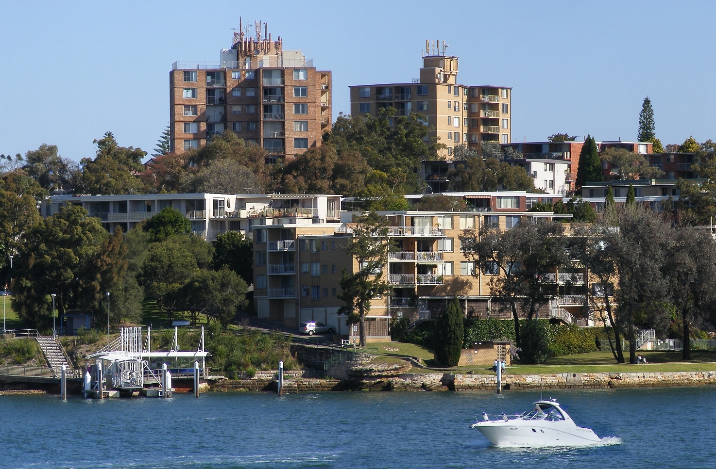 Chiswick Ferry Wharf and apartments | |||||||||||||
| Population: | 2,470 [1] | ||||||||||||
| Postcode: | 2046 | ||||||||||||
| Location: | 9 km (6 mi) west of Sydney CBD | ||||||||||||
| LGA: | City of Canada Bay | ||||||||||||
| State District: | Drummoyne | ||||||||||||
| Federal Division: | Reid | ||||||||||||
| |||||||||||||

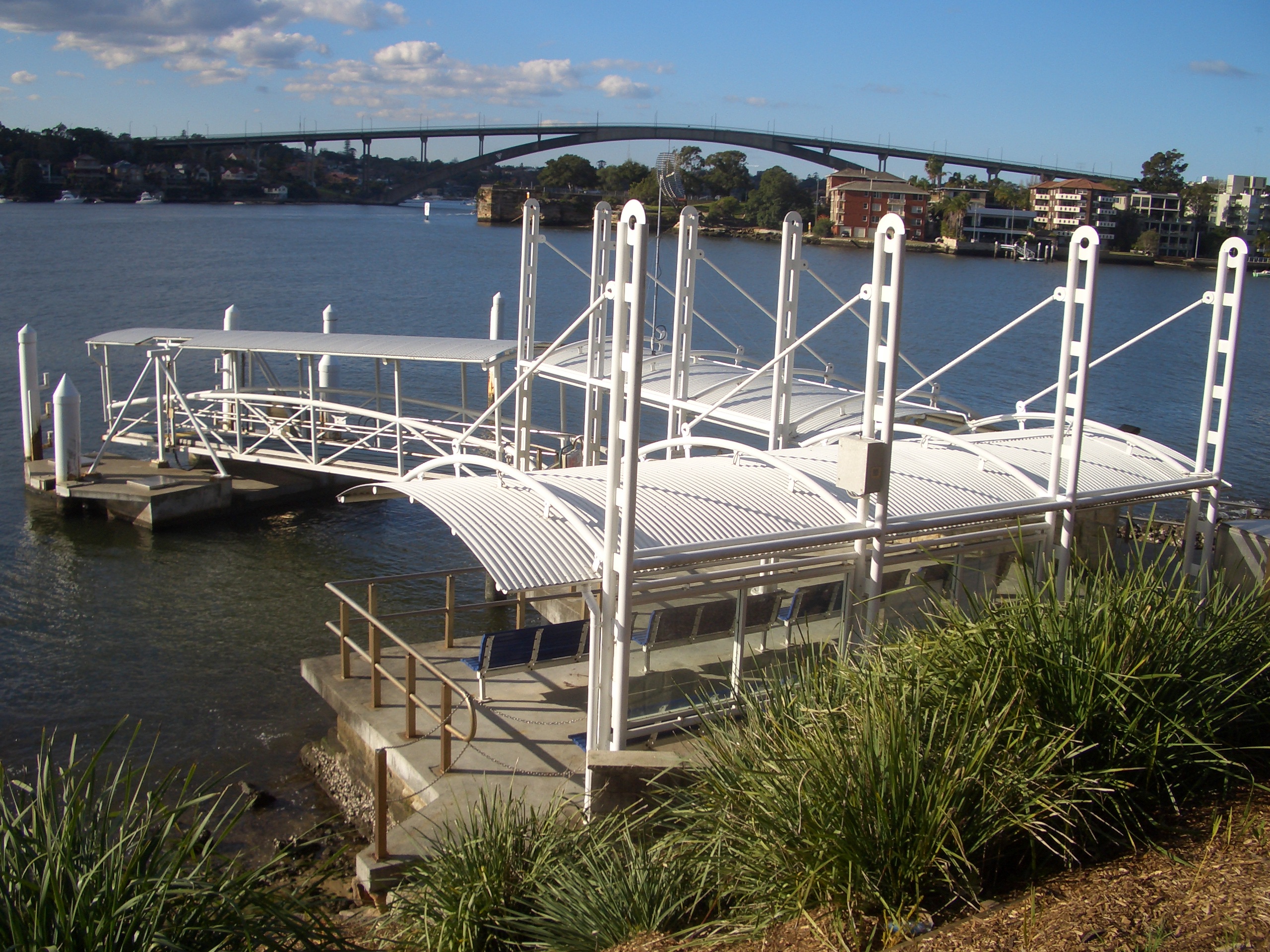
Chiswick Ferry Wharf
Chiswick is a suburb in the Inner West[2] of Sydney, in the state of New South Wales, Australia. It is located 9 kilometres west of the Sydney central business district in the local government area of the City of Canada Bay. Chiswick sits on the peninsula between Abbotsford Bay and Five Dock Bay, on the Parramatta River. It is surrounded by the suburbs of Abbotsford, Russell Lea and Drummoyne.
History[]
The area around Chiswick was first known by its Aboriginal name Bigi Bigi. The suburb was originally part of Five Dock Farm. In 1850s a Dr Fortescue owned an estate in this area which he named Chiswick after the village on the Thames, west of London. Parramatta River had been known as the 'Thames of the Antipodes' and other nearby suburbs were also named after Thames localities of Greenwich, Woolwich, Henley and Putney.[3]
More recently it has been subjected to an increase in the building of many modern apartment blocks, which has seen the population rise to around 2400.[4]
Demographics[]
According to the 2011 Census, there were 2,470 residents in Chiswick. The most common responses for ancestry in Chiswick were English 19.5%, Australian 16.3%, Italian 12.5%, Irish 8.7% and Chinese 6.8%. The median weekly household income in Chiswick was $2,068, significantly higher than the national median of $1,234.[1]
Transport and commercial area[]
The Chiswick ferry wharf is used by Parramatta River ferry services. Sydney Buses operate a terminus nearby, with buses running to Circular Quay either via Drummoyne and Victoria Road, or via Leichhardt and Parramatta Road. The bus terminus also has a route running to Campsie Station via Burwood Station. Chiswick has a small group of shops in Blackwall Point Road, close to the ferry wharf.
")
")
")
")
References[]
- ^ a b Australian Bureau of Statistics (31 October 2012). "Chiswick (State Suburb)". 2011 Census QuickStats. http://www.censusdata.abs.gov.au/census_services/getproduct/census/2011/quickstat/SSC10526?opendocument&navpos=220. Retrieved 30 April 2013.
- ^ Australian Suburb Guide: Sydney Inner West Retrieved 7 August 2013.
- ^ The Book of Sydney Suburbs, Compiled by Frances Pollon, Angus & Robertson Publishers, 1990, Published in Australia ISBN 0-207-14495-8, page 61
- ^ http://www.australian-post-codes.com/australian-population/state/new-south-wales/suburb/chiswick/postcode/2046
| ||||||||
| |||||||||||||||||||||||||||||
| This article related to the geography of Sydney is a stub. You can help by expanding it. |
| This page uses content from the English language Wikipedia. The original content was at Chiswick, New South Wales. The list of authors can be seen in the page history. As with this Familypedia wiki, the content of Wikipedia is available under the Creative Commons License. |