| Main | Births etc |
|---|
| Bernolákovo Former name, 1927-1948: Čeklís, before 1927: Čeklýs Hungarian: Cseklész German: Landschütz Croatian: Čekliš |
|||
|---|---|---|---|
| — Village — | |||
 |
|||
|
|||
 |
|||

Bernolákovo |
|||

Bernolákovo |
|||
| Coordinates: | |||
| Country | |||
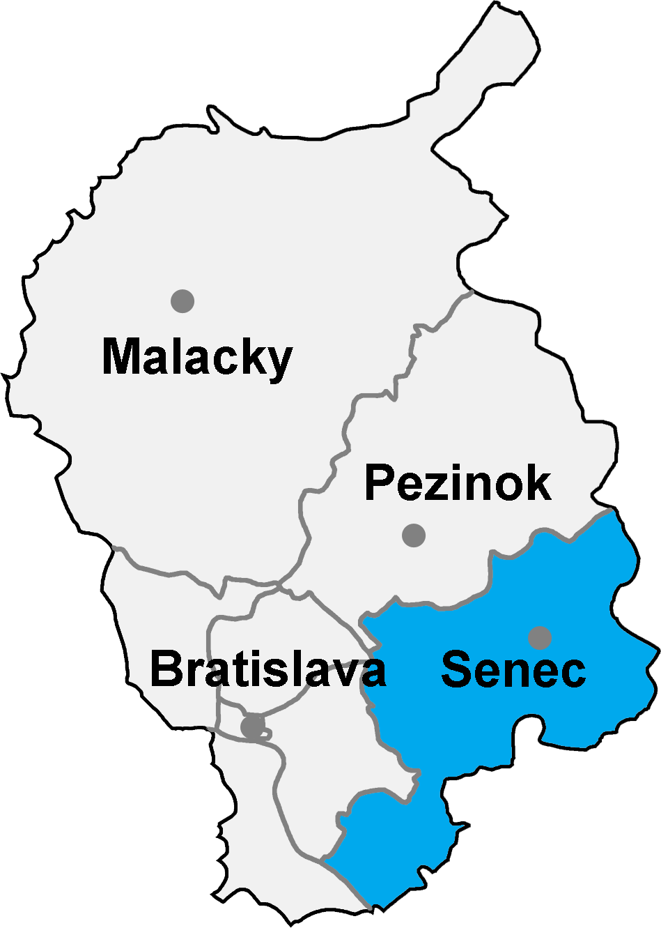
| Region | Bratislava | ||
| Districts of Slovakia | Senec | ||
| First mentioned | 1209 | ||
| Government | |||
| • Mayor | Richard Červienka (Ind. |
||
| Area | |||
| • Total | 28.43 km2 (10.98 sq mi) | ||
| Elevation | 141 m (463 ft) | ||
| Population (31 Dec 2015) | |||
| • Total | 6 408 | ||
| • Density | 225.40/km2 (583.8/sq mi) | ||
| Time zone | CET (UTC+1) | ||
| • Summer (DST) | CEST (UTC+2) | ||
| Postal code | 900 27 | ||
| Area code | +421-2 | ||
| Vehicle registration | SC | ||
| Website | http://bernolakovo.sk/ | ||

Bernolákovo (Former name, 1927-1948: Čeklís, before 1927: Čeklýs; Hungarian: Cseklész; German: Landschütz; Croatian: Čekliš) is a village and commune in western Slovakia in Senec District, Bratislava Region.
Demography[]
Population by nationality:
| Nationality | 1991 | 2001 |
|---|---|---|
| Slovaks | 97.41% | 95.42% |
| Hungarians | 1.21% | 0.78% |
| Czechs | 0.78% | 0.65% |
See also[]
References[]
Genealogical resources[]
The records for genealogical research are available at the state archive "Statny Archiv in Bratislava, Slovakia"
- Roman Catholic church records (births/marriages/deaths): 1687-1930 (parish A)
- Reformated church records (births/marriages/deaths): 1787-1924 (parish B)
External links[]
| |||||||
| This page uses content from the English language Wikipedia. The original content was at Bernolákovo. The list of authors can be seen in the page history. As with this Familypedia wiki, the content of Wikipedia is available under the Creative Commons License. |