| Main | Births etc |
|---|
| Ben Lomond | |
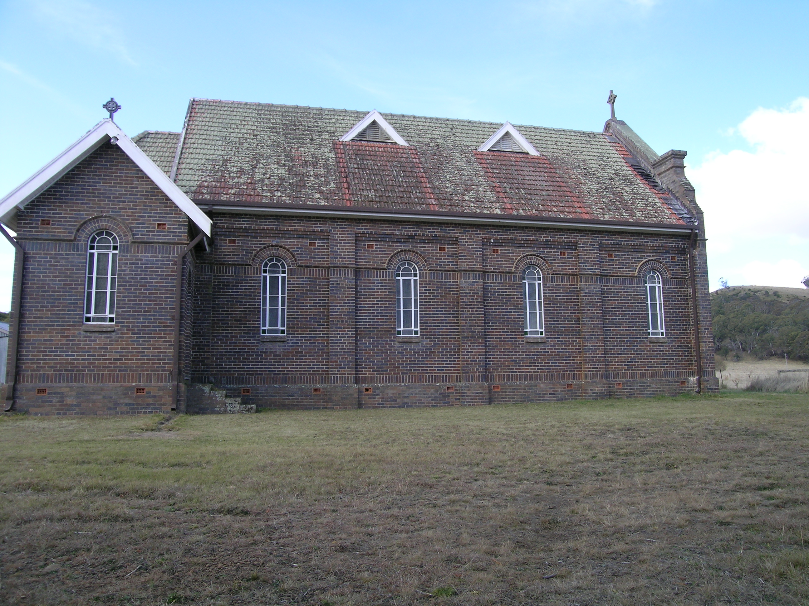 Ben Lomond Church with The Brothers Mountain to the right | |

Ben Lomond | |
| Population: | 389[1] |
| Postcode: | 2365 |
| Elevation: | 1,400 m (4,593 ft) |
| Location: |
|
| LGA: | Guyra Shire |
| County: | Hardinge |
| State District: | Northern Tablelands |
| Federal Division: | New England |
Ben Lomond is a village on the Northern Tablelands in the New England region of New South Wales, Australia. The village is situated 6 km off the New England Highway between Armidale and Glen Innes. It is located in Guyra Shire with part of the surrounding district in Glen Innes Severn Shire and Inverell Shire.
Ben Lomond Village is at 1,370 m elevation, the highest village in northern New South Wales. As such, even though located only a few hours drive from the New South Wales and Queensland border, it receives occasional falls of snow in winter. Overlooking the village are The Two Brothers with a peak elevation of 1,508 metres.
History[]
The name Ben Lomond originated from Ben Lomond in Scotland.[2]
In 1848, the Manooan run of 17,000 acres (69 km2) had the Ben Lomond Range as its southern boundary. In the 1860s there was a station named Ben Lomond which had been robbed by Captain Thunderbolt, who frequented the region. The slow climb and timber on the Ben Lomond Range proved an ideal place for the robbery of coaches and travellers.[3]
The Dumaresq to Glen Innes section of the Main North Line, which included Ben Lomond, opened on 19 August 1884.[4] The railway station closed on 10 December 1985, followed by the Dumaresq-Glen Innes section on 3 October 1993.[4][5] At 1,363 metres (4,472 ft), Ben Lomond railway station was the highest railway station in New South Wales until the Skitube opened in 1987.[6] Ben Lomond Post Office opened on 4 November 1879 and closed in 1979.[7]
Present day[]
Ben Lomond was serviced by a general store providing the majority of day to day needs as well as farming supplies until November, 2007. It also has three Churches representing the Anglican, Presbyterianism and Roman Catholic denominations.
Ben Lomond Public School, located on Inn Road, has been reduced in recent years from thirty students in the mid nineties to a current enrolment of around twelve students. The lack of jobs in the immediate area, drought, as well as the proximity to Glen Innes and Guyra has been a factor in this change in school size.
At the 2006 census, the Census area containing Ben Lomond village and district, but also containing a considerable area to the east, had a recorded population of 389.[1] A more accurate though anecdotal estimate of population is about 30 persons in the village, and approximately a further 70 persons in the surrounding district of mostly farming families that identify themselves as part of the Ben Lomond area. The district’s primary industries are agriculture and tourism.
Ben Lomond community has traditionally been active through several groups and local initiatives to maintain and progress the village and district.
Ben Lomond is home to several tourist attractions; including home stays, the longest hand cut railway cutting in Australia, the highest passenger railway station in the southern hemisphere (at the time of the construction of the railway), and a scattering of old and historical relics of past times in and around the village.
The highland areas that include the Ben Lomond district are the focus areas for possible development of large scale wind farms.
In recent years the village has formed something of a local rivalry with neighbouring Glen Innes in the form of an annual inter-town friendly cricket match. Whilst at a substantial size disadvantage, Ben Lomond have won four of the games so far, and drawn the other. Games are played on the Ben Lomond Recreational Ground, which once played host to regular games but is seldom used outside of the fixture.
References[]
- ^ a b Australian Bureau of Statistics (25 October 2007). "Ben Lomond (State Suburb)". 2006 Census QuickStats. http://www.censusdata.abs.gov.au/ABSNavigation/prenav/LocationSearch?collection=Census&period=2006&areacode=SSC16219&producttype=QuickStats&breadcrumb=PL&action=401. Retrieved 2007-07-13.
- ^ "Ben Lomond". Geographical Names Register (GNR) of NSW. Geographical Names Board of New South Wales. http://www.gnb.nsw.gov.au/place_naming/placename_search/extract?id=ujKqBKKm. Retrieved 13 June 2009.
- ^ Donald, J.Kay, Exploring the North Coast and New England, Kangaroo Press, Kenthurst, 1987.
- ^ a b Bozier, Rolfe. "Main North Line". NSWrail.net. http://www.nswrail.net/lines/show.php?name=NSW:main_north. Retrieved 1 December 2011.
- ^ Bozier, Rolfe. "Ben Lomond Station". NSWrail.net. http://www.nswrail.net/locations/show.php?name=NSW:Ben+Lomond. Retrieved 1 December 2011.
- ^ Bozier, Rolfe. "NSW Railway Altitude Highs and Lows". NSWrail.net. http://www.nswrail.net/trivia/altitude.php. Retrieved 1 December 2011.
- ^ Premier Postal History. "Post Office List". Premier Postal Auctions. https://www.premierpostal.com/cgi-bin/wsProd.sh/Viewpocdwrapper.p?SortBy=NSW&country=. Retrieved 26 May 2011.
External links[]
| This page uses content from the English language Wikipedia. The original content was at Ben Lomond, New South Wales. The list of authors can be seen in the page history. As with this Familypedia wiki, the content of Wikipedia is available under the Creative Commons License. |