| Main | Births etc |
|---|
| Bagrationovsk Rayon Багратионовский район (Russian) | |
|---|---|
 Location of Bagrationovsky District in Kaliningrad Oblast | |
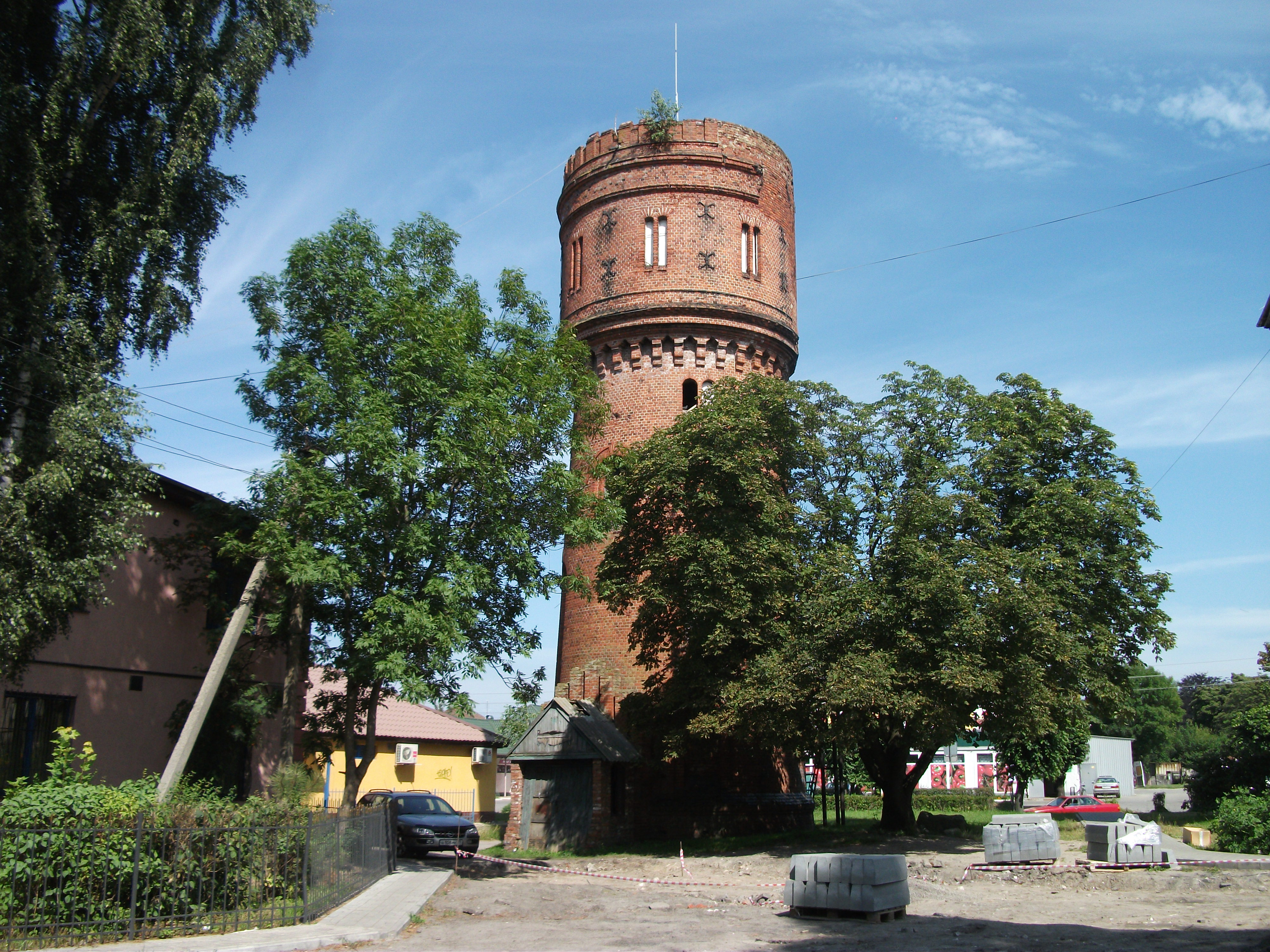 Water Tower, Mamonovo, Bagrationovsky District | |
 |
 |
|
| |
| Location | |
| Country | Russia |
| Federal subject | Kaliningrad Oblast[1] |
| Administrative structure (as of November 2011) | |
| Administrative center | town of Bagrationovsk[2] |
| Administrative divisions:[2] | |
| Towns of district significance | 1 |
| Rural okrugs | 4 |
| Inhabited localities:[2] | |
| Cities/towns | 1 |
| Rural localities | 87 |
| Municipal structure (as of April 2010) | |
| Municipally incorporated as | Bagrationovsk Municipal Rayon[3] |
| Municipal divisions:[3] | |
| Urban settlements | 1 |
| Rural settlements | 4 |
| Statistics | |
| Area | 1,146 km2 (442 sq mi)[4] |
| Population (2010 Census) | 32,352 inhabitants[5] |
| - Urban | 19.8% |
| - Rural | 80.2% |
| Density | 28.23 /km2 (73.1 /sq mi)[6] |
| Time zone | USZ1 (UTC+03:00)[7] |
| Established | 1946 |
| Official website | |
Bagrationovsk Rayon (Russian: Багратио́новский райо́н) is an administrative rayon (district]), one of the fifteen in Kaliningrad Oblast, Russia.[1] As a municipal division, it is incorporated as Bagrationovsk Municipal Rayon.[3] It is located in the southwest of the oblast. and borders with Guryevsk Rayon amd Gvardevsk Rayon in the north, Pravsinsk Rayon in the east, Poland in the south, and with th town of [Mamonovo]] in the west.--> The area of the district is 1,146 square kilometers (442 sq mi).[4] Its administrative center is the town of Bagrationovsk.[2] Population: 32,352 (2010 Census);[5] 45,672 (2002 Census);[8] 39,724 (1989 Census).[9] The population of Bagrationovsk accounts for 19.8% of the district's total population.[5]
Geography[]
The district is one of the westernmost in Kaliningrad Oblast. It is situated south of Kaliningrad at the border with Poland and is sparsely populated.
The former Prussian Eastern Railway runs through the district along the Baltic coast, connecting the city of Kaliningrad with Gdańsk in Poland. Another line, the former East Prussian Southern Railway, connects Kaliningrad with Polish Bartoszyce via Bagrationovsk; however, passenger service was discontinued in 2011. Two major roads, the R516 (part of the former Berlinka autobahn) and the A195, also lead through Bagrationovsk Rayon to the Polish border.
The most important river in the district is the Prokhladnaya, which mouths into Vistula Lagoon.
Partnerships[]
The district is in partnership with Verden District in Lower Saxony, Germany.
References[]
Notes[]
- ^ a b Law #463
- ^ a b c Resolution #639
- ^ a b c Law #253
- ^ a b "General Information" (in russian). Bagrationovsky District. https://gov39.ru/vlast/muni/bagrationovskiy-munitsipalnyy-rayon.php.
- ^ a b c "Всероссийская перепись населения 2010 года. Том 1 [2010 All-Russian Population Census, vol. 1)]" (in Russian). Всероссийская перепись населения 2010 года (2010 All-Russia Population Census). Federal State Statistics Service. 2011. http://www.gks.ru/free_doc/new_site/perepis2010/croc/perepis_itogi1612.htm. Retrieved June 29, 2012.
- ^ The value of density was calculated automatically by dividing the 2010 Census population by the area specified in the infobox. Please note that this value may not be accurate as the area specified in the infobox does not necessarily correspond to the area of the entity proper or is reported for the same year as the population.
- ^ Правительство Российской Федерации. Постановление №725 от 31 августа 2011 г. «О составе территорий, образующих каждую часовую зону, и порядке исчисления времени в часовых зонах, а также о признании утратившими силу отдельных Постановлений Правительства Российской Федерации». Вступил в силу по истечении 7 дней после дня официального опубликования. Опубликован: "Российская Газета", №197, 6 сентября 2011 г. (Government of the Russian Federation. Resolution #725 of August 31, 2011 On the Composition of the Territories Included into Each Time Zone and on the Procedures of Timekeeping in the Time Zones, as Well as on Abrogation of Several Resolutions of the Government of the Russian Federation. Effective as of after 7 days following the day of the official publication.).
- ^ "Численность населения России, субъектов Российской Федерации в составе федеральных округов, районов, городских поселений, сельских населённых пунктов – районных центров и сельских населённых пунктов с населением 3 тысячи и более человек [Population of Russia, its federal districts, federal subjects, districts, urban localities, rural localities—administrative centers, and rural localities with population of over 3,000]" (in Russian). Всероссийская перепись населения 2002 года (All-Russia Population Census of 2002). Federal State Statistics Service. May 21, 2004. http://www.perepis2002.ru/ct/doc/1_TOM_01_04.xls. Retrieved February 9, 2012.
- ^ Demoscope Weekly (1989). "Всесоюзная перепись населения 1989 г. Численность наличного населения союзных и автономных республик, автономных областей и округов, краёв, областей, районов, городских поселений и сёл-райцентров. [All Union Population Census of 1989. Present population of union and autonomous republics, autonomous oblasts and okrugs, krais, oblasts, districts, urban settlements, and villages serving as district administrative centers]" (in Russian). Всесоюзная перепись населения 1989 года (All-Union Population Census of 1989). Institute of Demographics of the State University—Higher School of Economics. http://demoscope.ru/weekly/ssp/rus89_reg.php. Retrieved February 9, 2012.
Sources[]
- Template:RussiaAdmMunRef/kgd/admlaw
- Template:RussiaAdmMunRef/kgd/admlist
- Template:RussiaAdmMunRef/kgd/munlist/bagrationovsky
| ||||||||||||||||||||