| ||||||||||||||
| Ambala district अम्बाला जिला |
|
|---|---|
| — District of Haryana — | |
 |
|
| Country | India |
| State | Haryana |
| Administrative division | Ambala |
| Established | |
| Headquarters | Ambala |
| Tehsils | 1. Ambala, 2. Barara, 3. Naraingarh |
| Government | |
| • Lok Sabha constituencies | Ambala (shared with Panchkula and Yamuna Nagar districts) |
| • Assembly seats | 4 |
| Area | |
| • Total | 1,569 km2 (606 sq mi) |
| Population (2001) | |
| • Total | 1,013,660 |
| • Density | 650/km2 (1,700/sq mi) |
| Demographics | |
| • Literacy | 66.47% |
| • Sex ratio | 869 |
| Website | Official website |
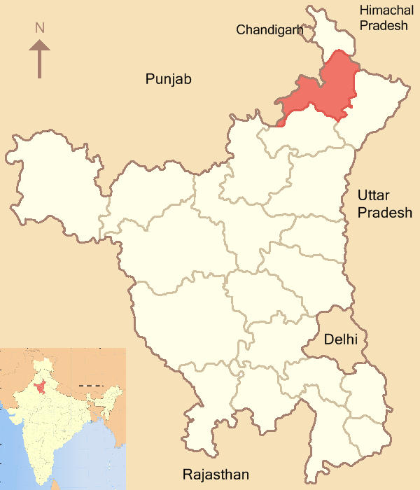
Ambala district (Hindi: अम्बाला जिला) is one of the 21 districts of Haryana state in India. Ambala town is the administrative headquarters of the district. The district has an area of 1568.85 km².
Divisions[]
The district has two sub-divisions, which is further divided into three tehsils, Ambala sub-division comprises two tehsils, Ambala and Barara and Naraingarh sub-division comprises only one tehsil, Naraingarh.
There are four Vidhan Sabha constituencies in this district: Naraingarh, Ambala Cantt., Ambala City and Mulana. All of these are part of Ambala Lok Sabha constituency.
Demography[]
According to the 2011 census Ambala district has a population of 1,136,784,[1] roughly equal to the nation of Cyprus[2] or the US state of Rhode Island.[3] This gives it a ranking of 409th in India (out of a total of 640).[1] The district has a population density of 722 inhabitants per square kilometre (1,870 /sq mi) .[1] Its population growth rate over the decade 2001-2011 was 12.06 %.[1] Ambala has a sex ratio of 882 females for every 1000 males,[1] and a literacy rate of 82.9 %.[1]
Education[]
A number of primary, secondary and higher secondary schools are located in Ambala city, which provide education to the students of the city and the adjoining villages. S.A.Jain Senior Secondary School, S.A. Jain Senior Model School, P.K.R Jain Girls Senior Secondary School are few of the well-known schools. Ambala city has 2 polytechnics providing technical education to the aspiring students.
Industry[]
Ambala city is home to one of largest scientific instruments [4] and glass industries. It produces microscopes and other instruments used in chemistry laboratories. It also produces rugs, known locally as Durries.there is sgn. college also situated. but system is
Cities, towns, villages, and other communities[]
- Amabala cantt. (city)
- Amabala city (city)1021
References[]
- ^ a b c d e f "District Census 2011". Census2011.co.in. 2011. http://www.census2011.co.in/district.php. Retrieved 2011-09-30.
- ^ US Directorate of Intelligence. "Country Comparison:Population". https://www.cia.gov/library/publications/the-world-factbook/rankorder/2119rank.html. Retrieved 2011-10-01. "Cyprus 1,120,489 July 2011 est."
- ^ "2010 Resident Population Data". U. S. Census Bureau. http://2010.census.gov/2010census/data/apportionment-pop-text.php. Retrieved 2011-09-30. "Rhode Island 1,052,567"
- ^ http://scientificequipments.com/
External links[]

|
Mohali district, Punjab | Panchkula district Sirmaur district, Himachal Pradesh |
| |
| Patiala district, Punjab | Yamuna Nagar district | |||
 Ambala district | ||||
| Kurukshetra district |
| ||||||||||||||||||||||||||
| ||||||||||||||||||||
| This Haryana location article is a stub. You can help by expanding it. |
| This page uses content from the English language Wikipedia. The original content was at Ambala district. The list of authors can be seen in the page history. As with this Familypedia wiki, the content of Wikipedia is available under the Creative Commons License. |